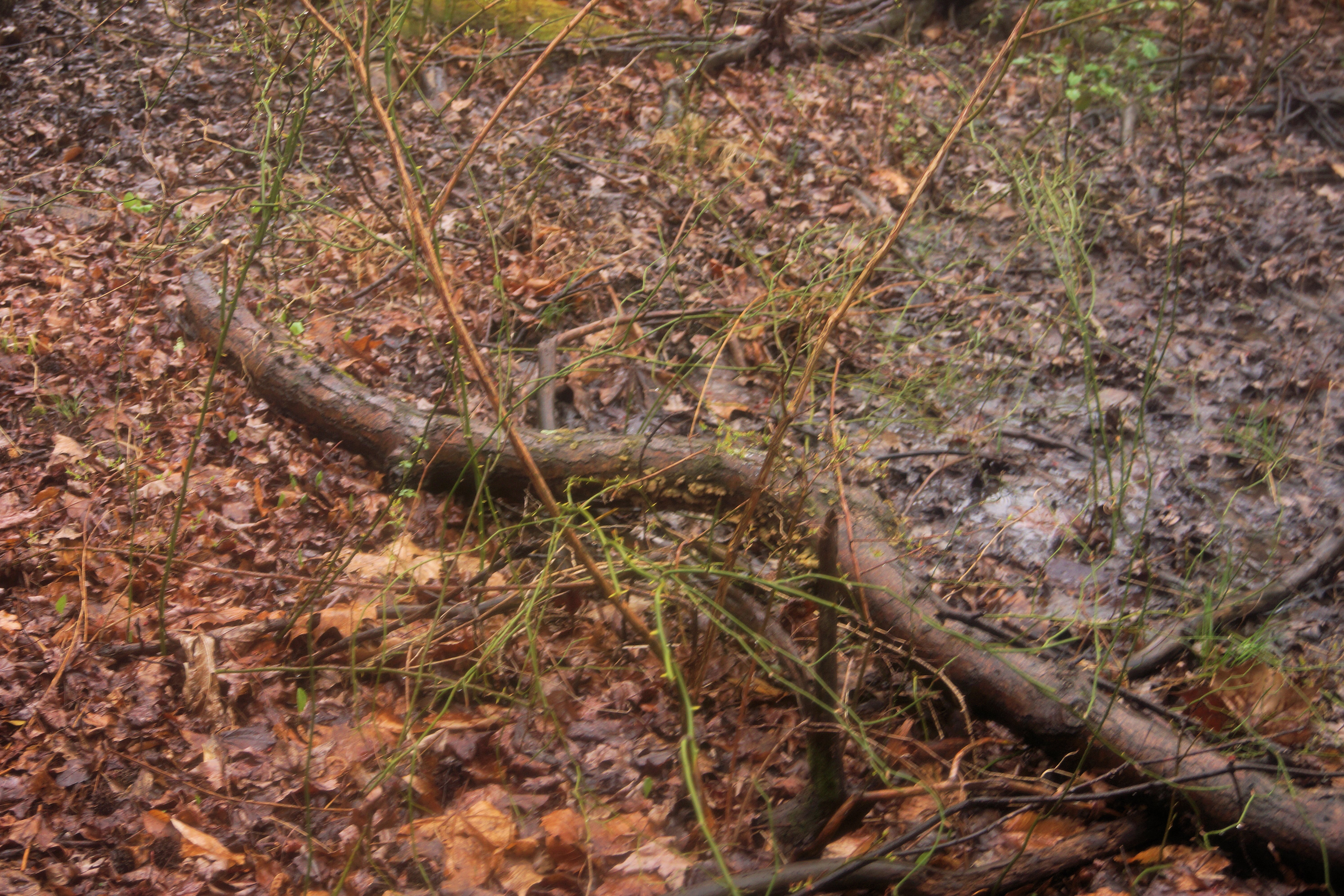
Photo above – A seepage near the Magnolia Bog. Note the seemingly omnipresent greenbrier – 11 April 2015
Here is my first take of the hydrology of the Odenton/Clean Fill Dump (CFD) magnolia bog site. I hope this article may spur some thought about what kinds of seepage wetlands exist at this site. (Please bear with me as I present my assessment as I am not a professional hydrologist.) This assessment is based on my fields observations of site and information I gleaned from reading the various EPA and Army assessments of the CFD. Their assessments contain maps and narratives which describe the hydrology of the area. I also referred to several pieces written by local bog enthusiasts. Finally, I used Google Earth to obtain information about the elevations and slopes at the site.
The clays beneath the CFD going down to sea level are said to be essentially discontinuous lenses which do not form specific confining layers. (EPA RoD July 2000). The groundwater level intersects the ground level at an elevation of 78 feet near the Magnolia Bog along the southern edge of the CFD. The seeps at this location attest to that fact. However, the debris from the CFD hides the size of the area of any seepage that may be occurring upslope from the CFD’s southern edge. So we may never the total extent of the seepage and by extension the bog itself.
I explored the area “around the corner” from the CFD for hillside seepage at the toe slope for about 1500 feet to the west. I noticed that the seepages appear randomly at different elevations, suggesting that there is no continuous clay layer or other barrier along the toe slope of the hill. The soils on the surface of these seepages were mixtures of sand and clay. The surface water from these seepages is not directly connected to the Magnolia Bog but rather flow south through a skunk cabbage swamp forest (there is probably a better designation) into Bailey Swamp and then on to the Little Patuxent River. There was more to see to the west, but I ran out of time.
The hill upslope from both the Magnolia Bog and the skunk cabbage swamp forest contain sandy gravel terraces. The exact extent of these terraces is not known, but rainwater percolating through the sandy gravel likely provides the head of water for the seepages at and below the toe slopes in the Magnolia Bog and the area to the west. In no case was there anything that approached the white sand and gravel seepages that McAtee wrote about in his description of the Fall Line Magnolia Bogs. That said, there is a remote possibility that white sand and gravel seepages may be hidden by the CFD debris or in a location I simply missed.
So, I would would love to be proven wrong, but I conclude that if white sand and gravel seepages are a requirement for the classic Fall-line Gravel Terrace Magnolia Bog plant community, the CFD/Odenton Magnolia Bog is not one. However, it is definitely a forested seepage wetland and could very well be the same Magnolia Bog in Odenton that McAtee described in 1918.
Finally, we must leave open the possibility that the hydrology may have been significantly altered since McAtee’s time because of the CFD and the construction of the road now known as Wildlife Loop to the east of the site. Additionally, the amount of change of the floral composition in the last roughly 100 years since McAtee may not be known.
Bill Harms
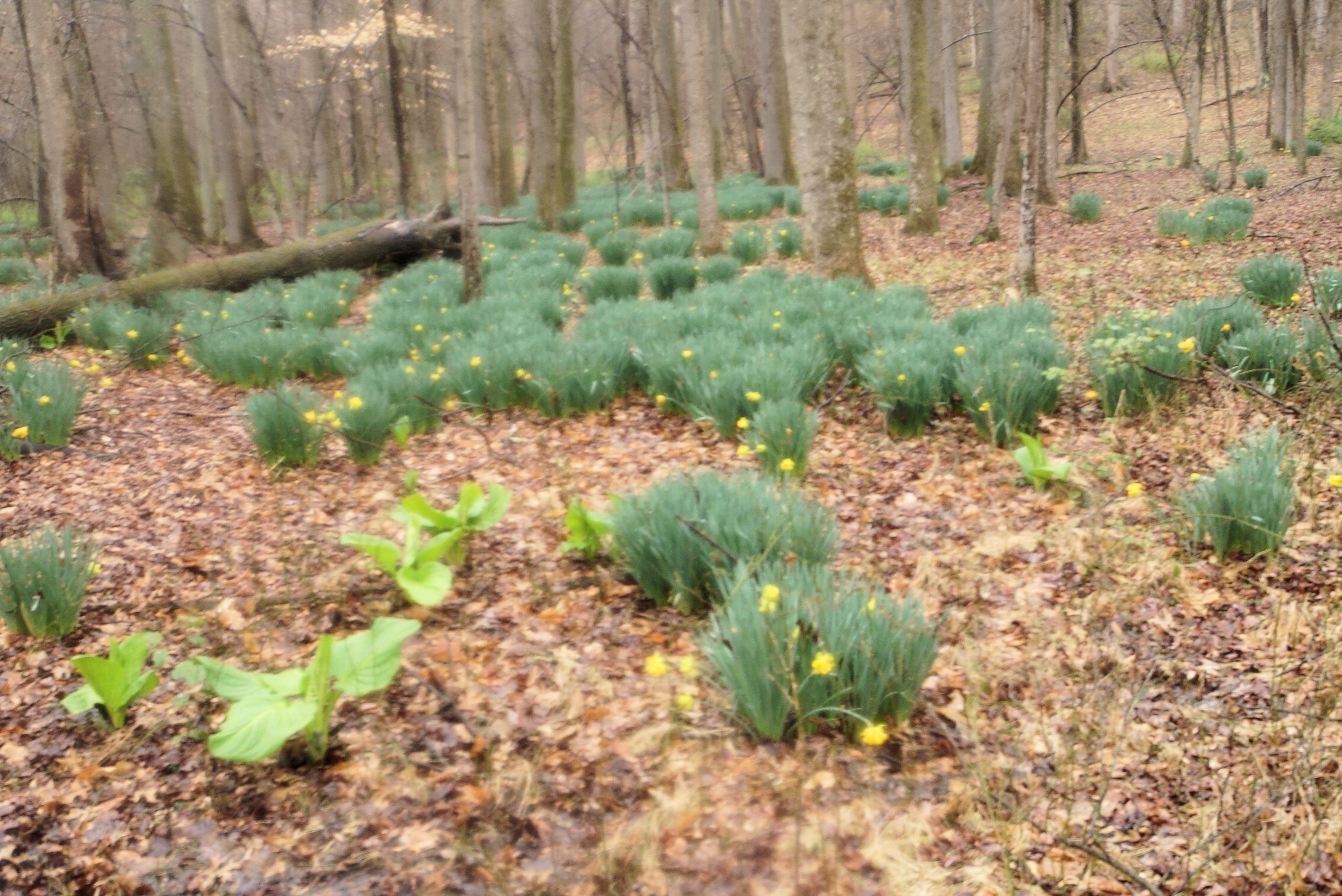
A nice patch of daffodils planted by someone a long time ago. You can see a seep with some skunk cabbage in the lower left corner.