Renowned naturalist Waldo Lee McAtee recorded the presence of numerous magnolia bogs in the Washington, DC area during the early part of the 1900’s. Among the ones he cataloged in A sketch of the natural history of the District of Columbia – 1918 was a bog in Odenton, the exact location of which is not clear. He described this bog as “one of the best developed magnolia bogs in the region” that was “somewhat cut up by railway embankments.” He also noted that it was near a “sandy locality of considerable interest to collectors.” In the late summer, orange milkwort (Polygala lutea) and white-fringed orchid (Platanthera blephariglottis) in the bog is said to make a “gorgeous show.” Bear oak (Quercus ilicifolia) and pitch pine (Pinus rigida) were also sighted in the area. McAtee also noted that the floristic composition of the Suitland Bog and the Odenton Bog is similar to the Pine Barrens of New Jersey (McAtee, 1918).
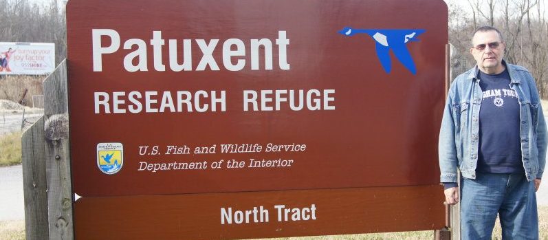
With this information in hand, it might be possible to rediscover the Odenton Magnolia Bog. There is a candidate area on the Patuxent Research Refuge which deserves consideration, and that is the putative magnolia bog that is located just south of the Clean Fill Dump (CFD) on the eastern edge of the Refuge’s North Tract. There are at least three references of this so-called magnolia bog in documents describing the CFD. (Environmental Protection Agency, 2000; URS Group, Inc., 2011; Fish and Wildlife Service, 2013).
The author has not yet been able to find a direct historical connection between the magnolia bog described by McAtee and the one south of the CFD. However, the descriptions of the bogs provides a possible clue. McAtee referred to the bog being “cut up by railway embankments.” The eastern edge of the CFD bog is about 500 to 600 feet from the Penn Line. This means that McAtee’s Odenton bog and the CFD bog could be the same site. A closer examination of the site and the discovery of historical references may resolve this question.
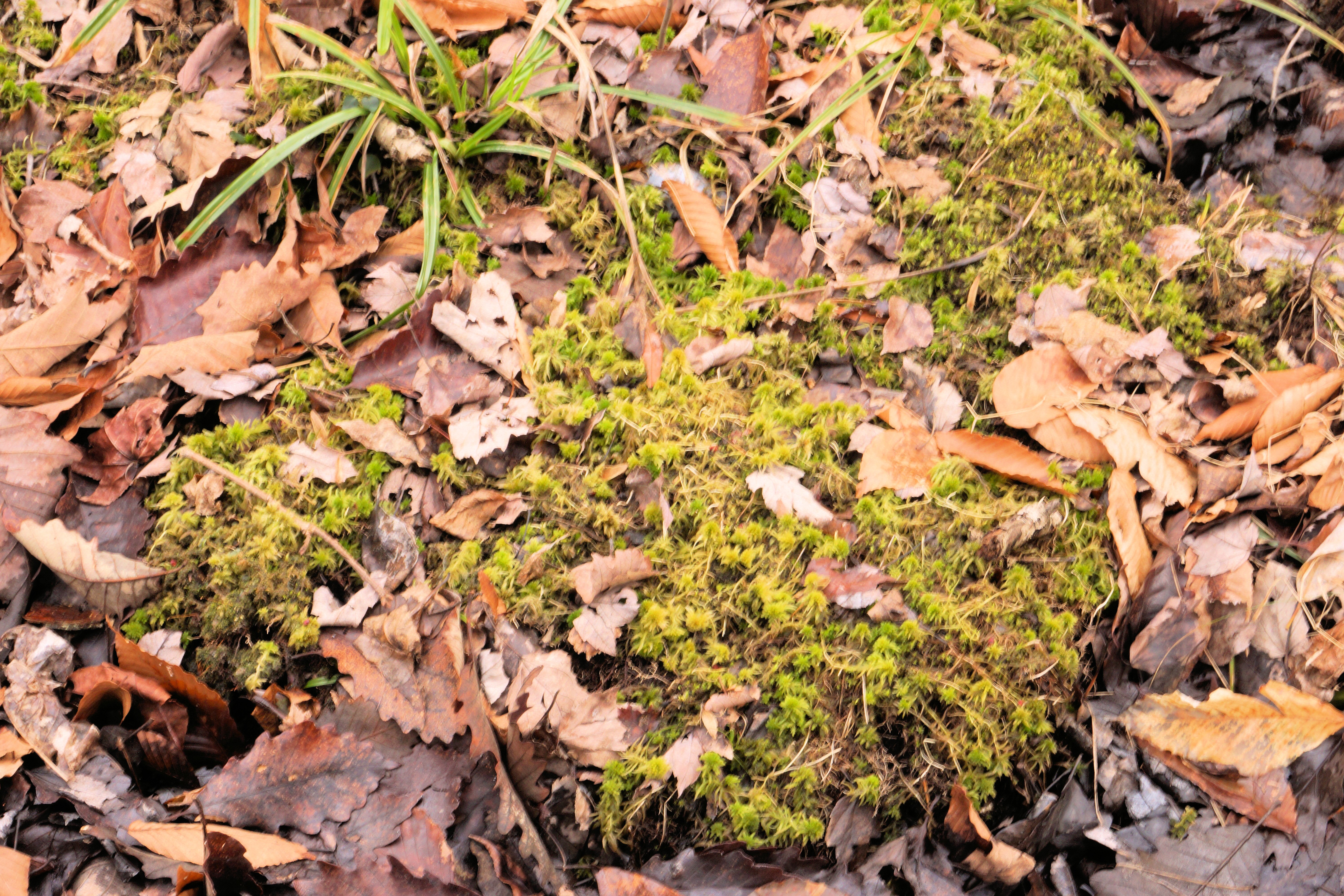
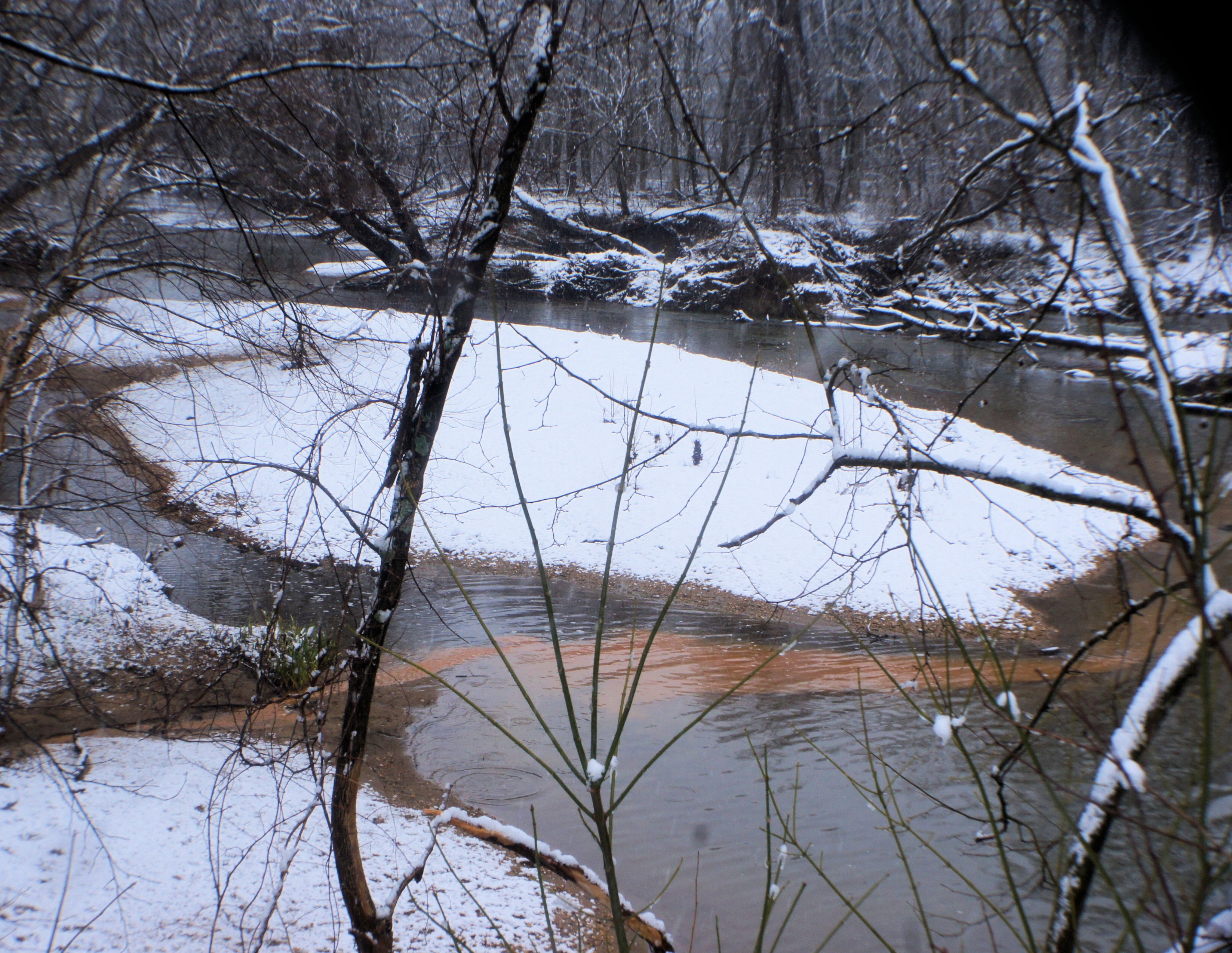
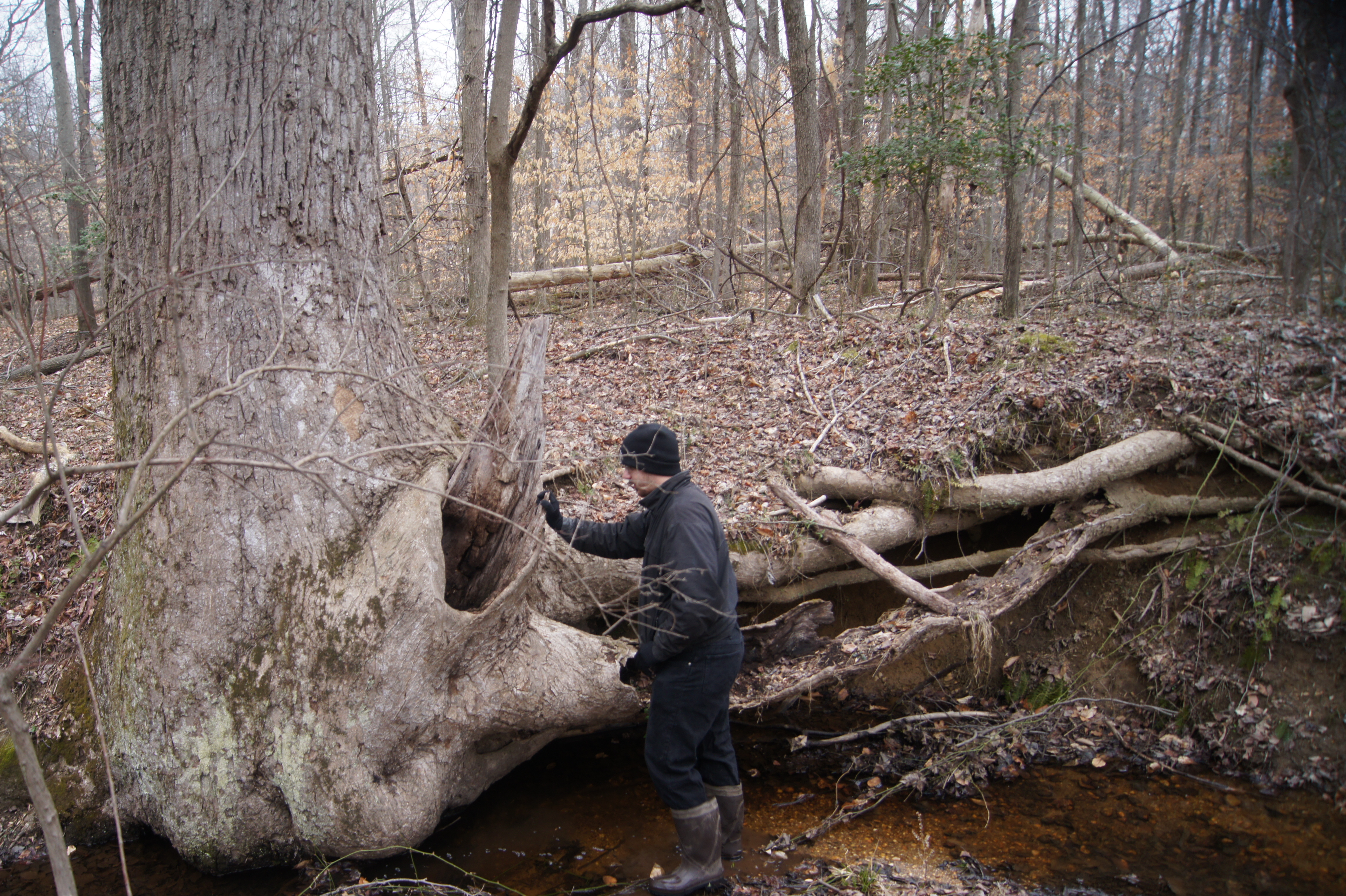
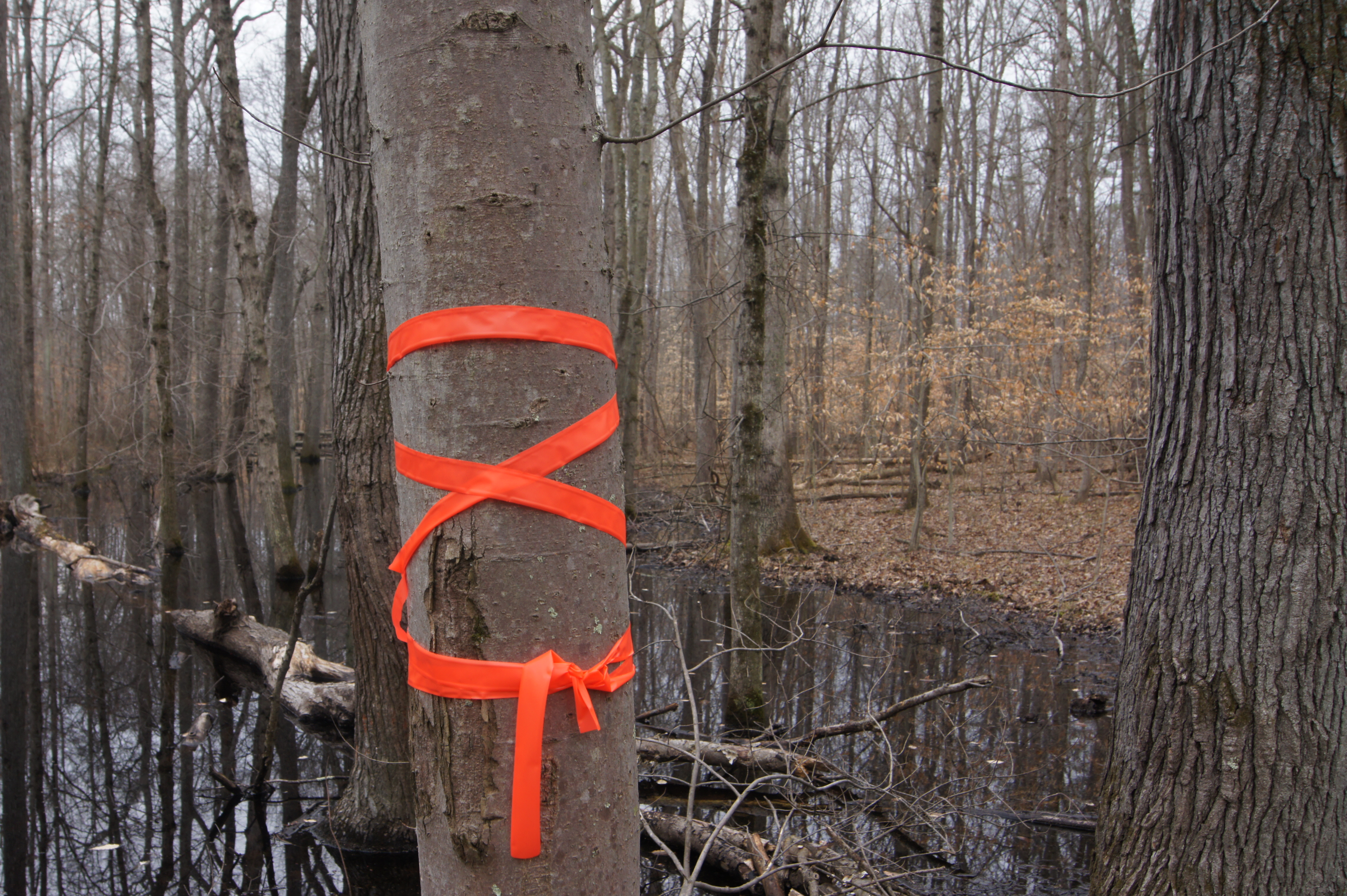
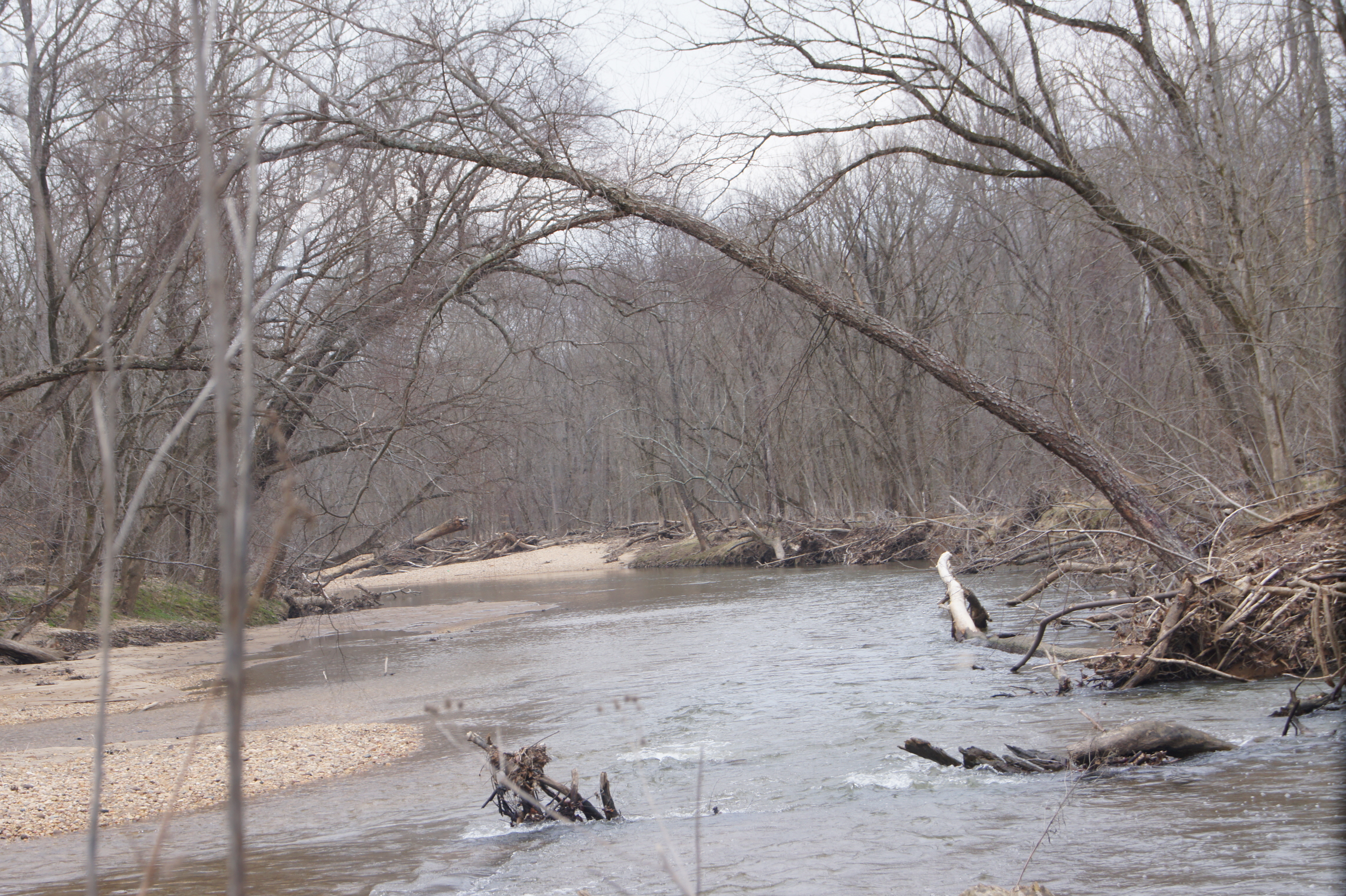
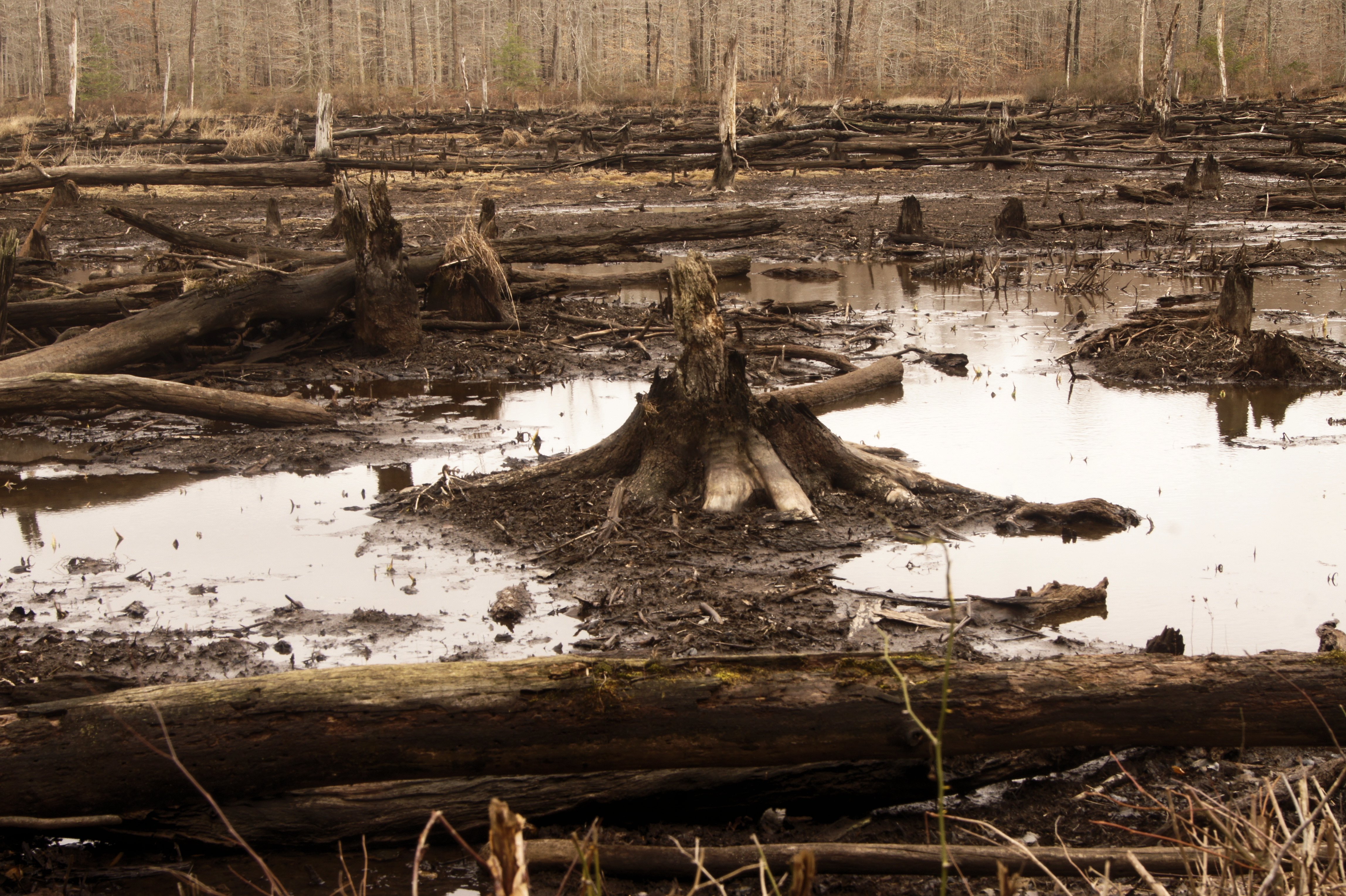
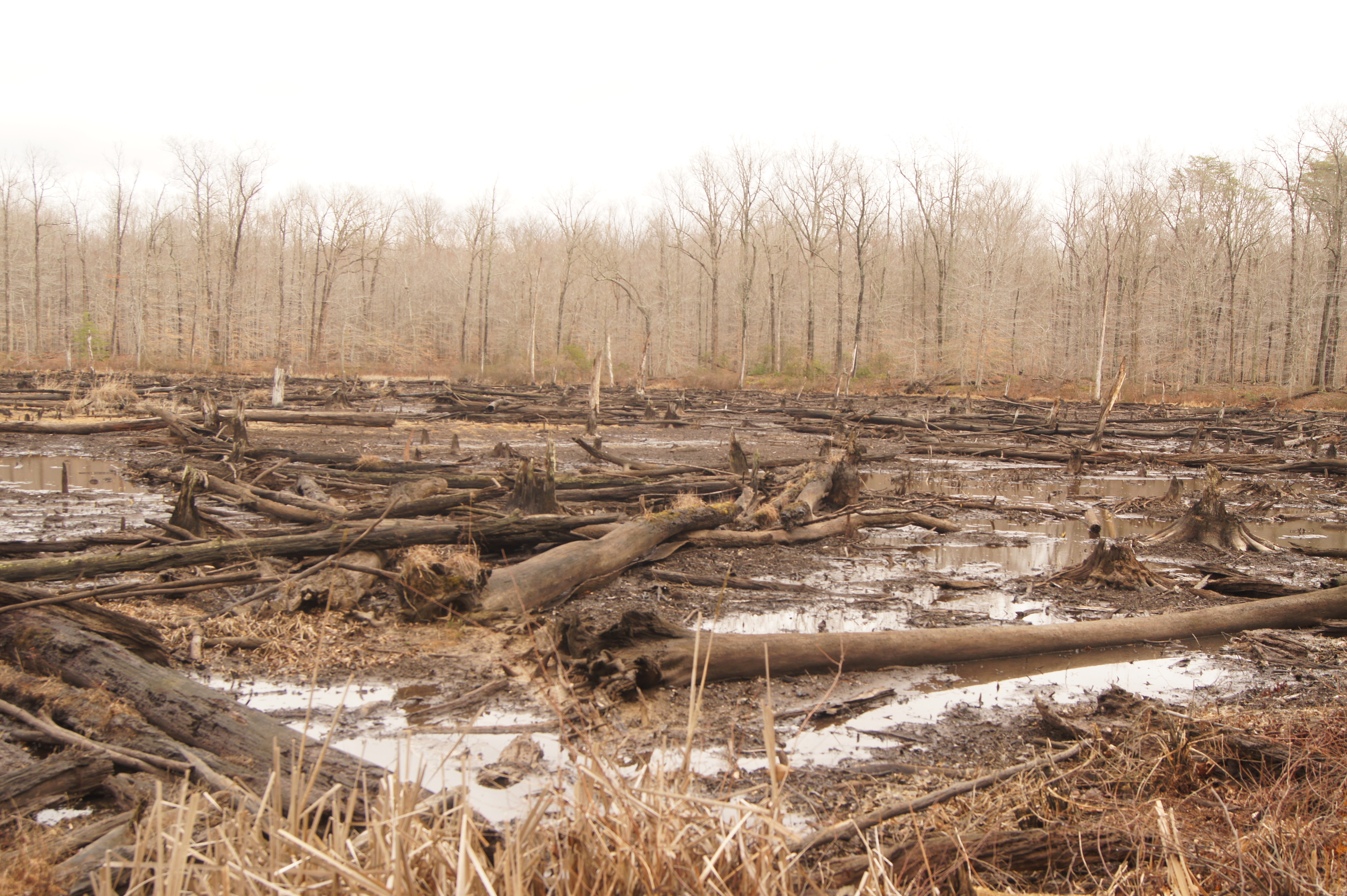
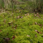
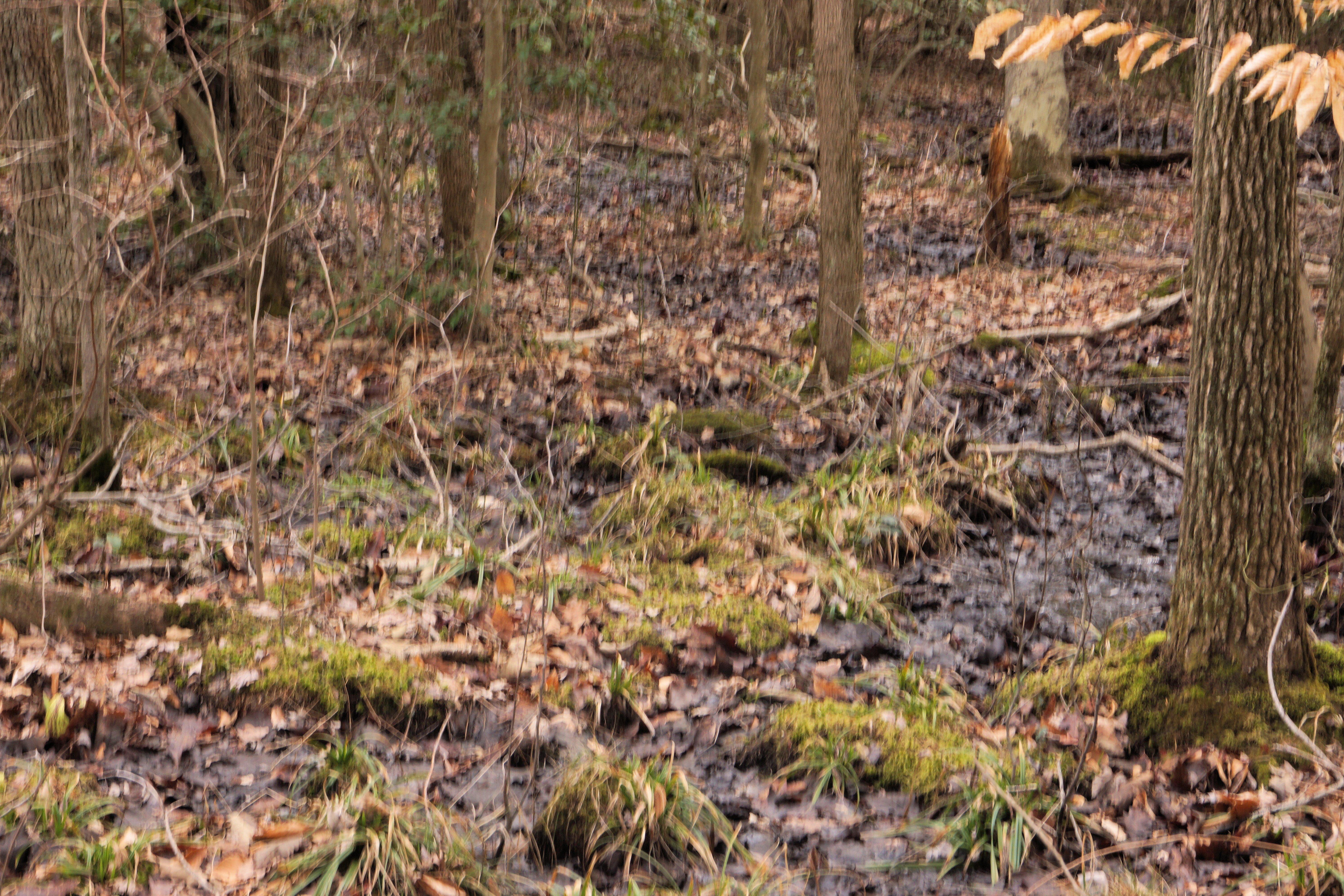
Initial surveys conducted in March 2015 confirmed the boggy nature of the CFD site. The area exhibited a dense understory with scattered patches of medium-sized sphagnum moss and hummocks covered in sphagnum moss spread throughout. The central muck in the bog reached depths of 2 to 3 feet, situated on a gentle slope of 5 degrees or less, crisscrossed by various meandering water channels. Evidence suggests an upward vertical hydraulic gradient, with water observed percolating through leaf litter towards the CFD and along its western side. This phenomenon was also documented in assessments conducted by the Army and the EPA. Adjacent to the boggy area, there is an elevated upland forest to the northwest, likely serving as the water source for the site.
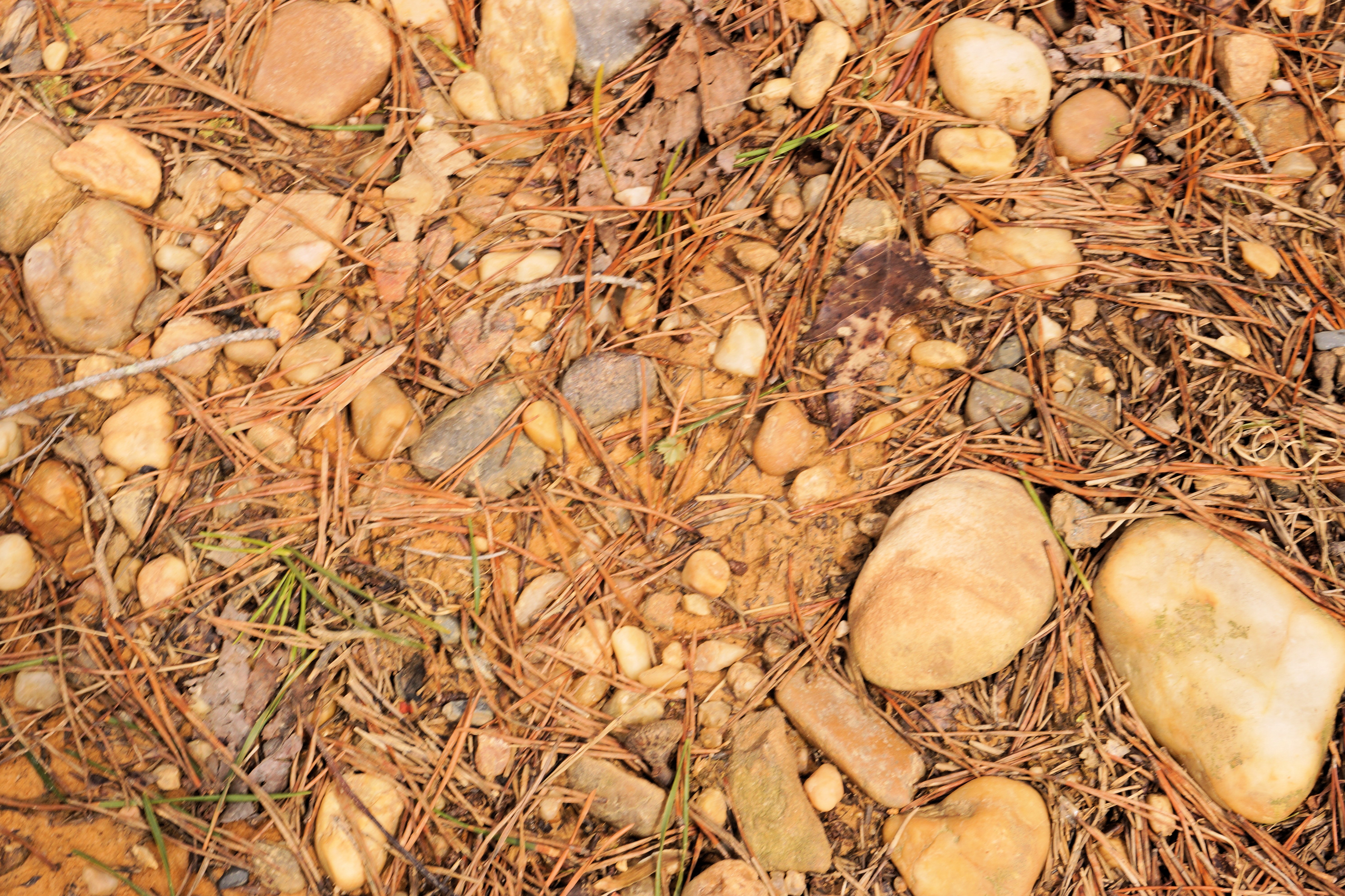
On the road bordering the northern side of the CFD, exposed soil comprised of rounded gravel, cobblestone-sized rocks, and sandy silt was visible in certain spots, upslope from the CFD. This soil type might also be present in the boggy area to the south, although it could alternatively be fill dirt brought in from elsewhere.
In general, the habitats appear to transition from a magnolia bog type in the north near the CFD to a more swampy habitat in the south. Towards the southern end, there is a notable area dominated by Phragmites. Water runoff continues southward until it reaches the Little Patuxent River, just east of Bailey Bridge Swamp.
An attempt was made to estimate the concentration of sweet bay magnolia (Magnolia virginiana) in the area, but since it had not yet leafed out, a crude estimate was made by examining the leaf litter. Some areas showed little evidence of sweet bay magnolia leaves, while others had a high concentration. A more accurate estimate will have to wait until later in the season.
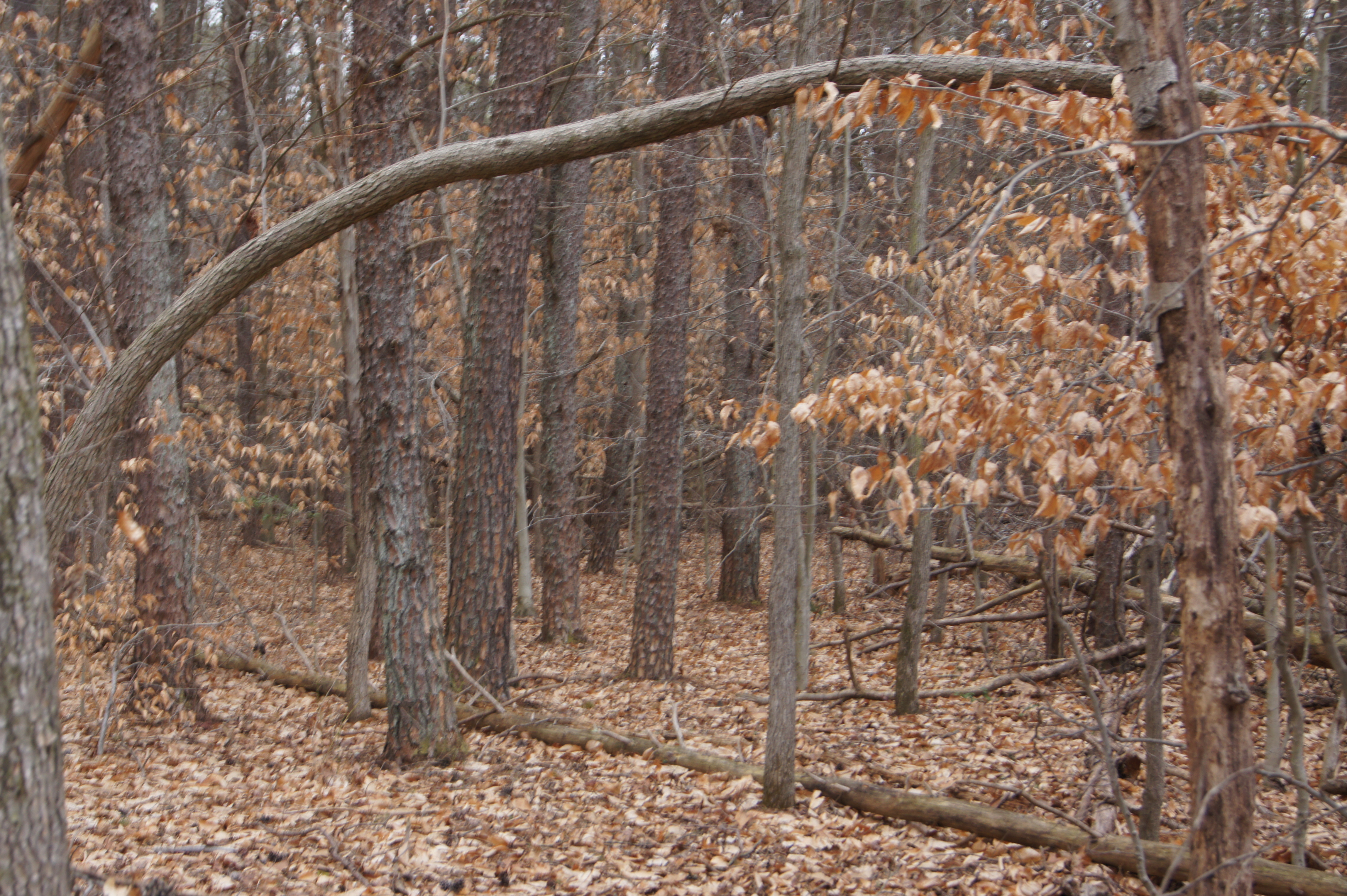
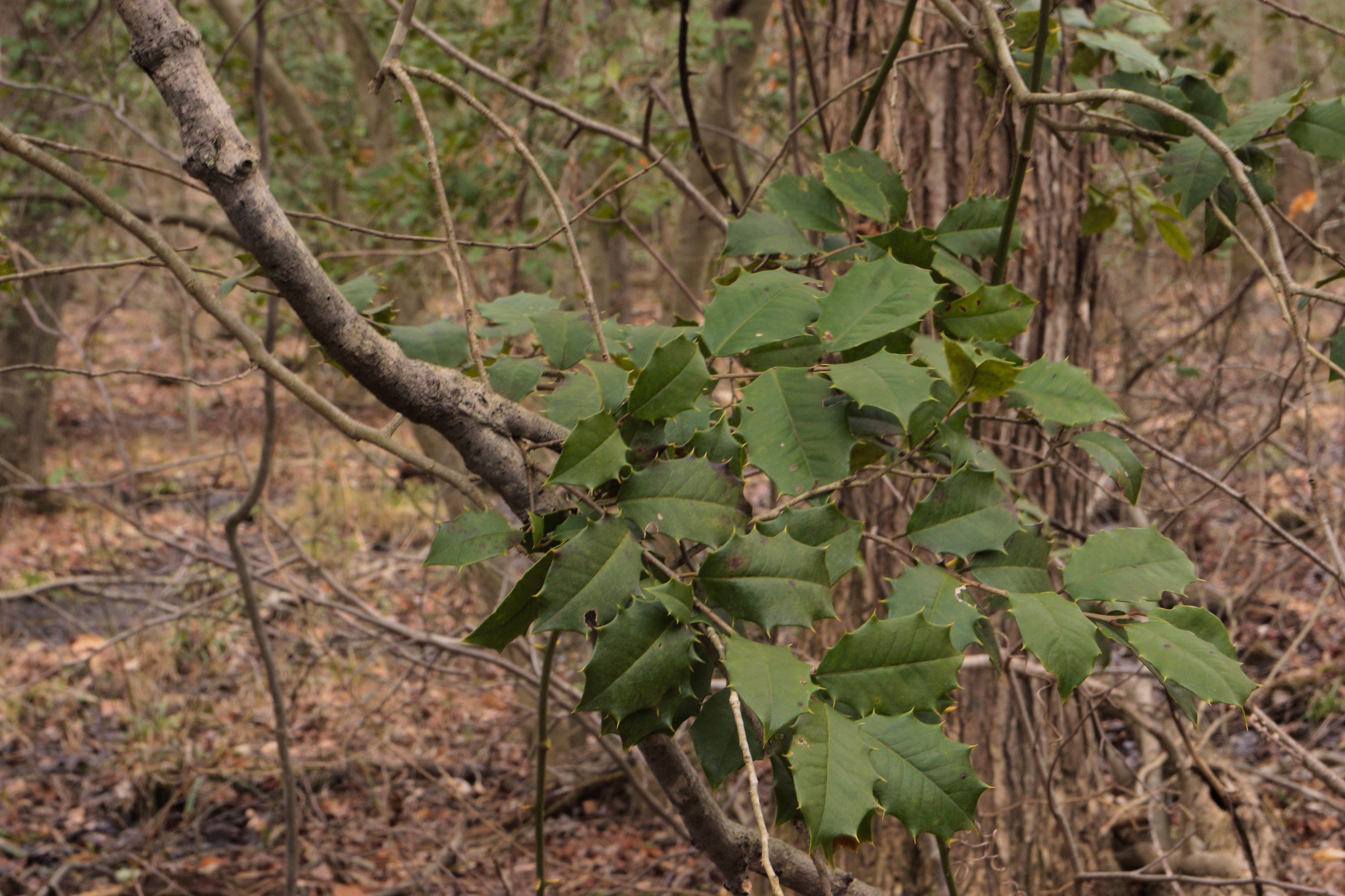
Throughout the area, American holly (Ilex opaca) was scattered, particularly in drier spots. Green brier (Smilax rotundifolia) appeared to be ubiquitous. Pitch pine and Virginia pine (Pinus virginiana), along with other upland forest tree species, were also present. At least one pitch pine observed from a distance exhibited black-colored bark, suggesting the possibility of a recent fire.
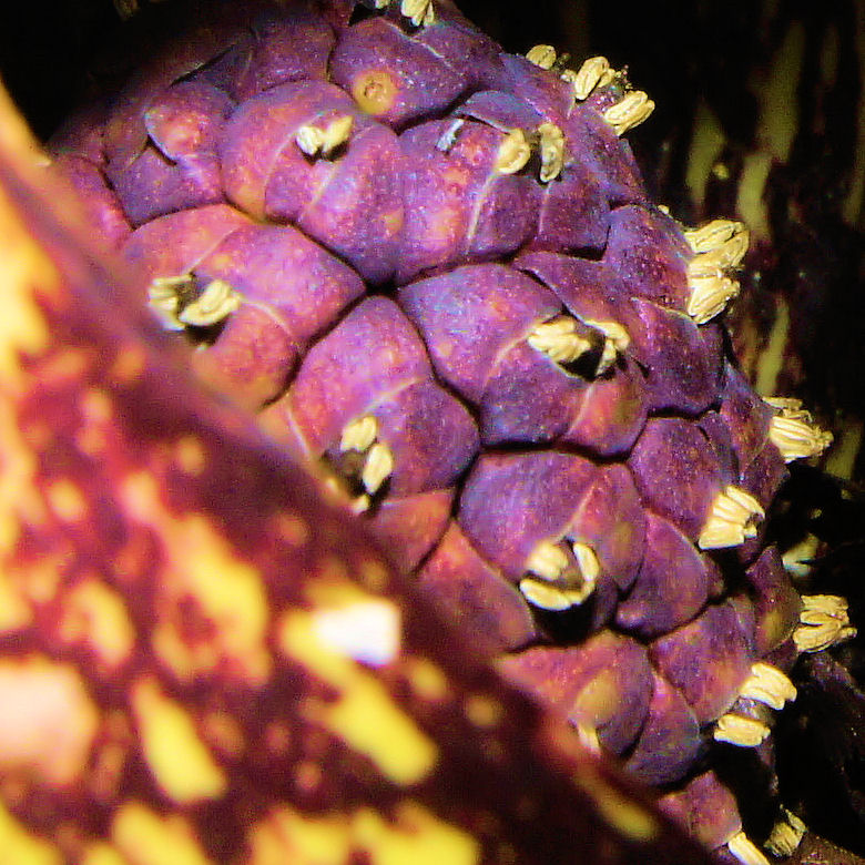
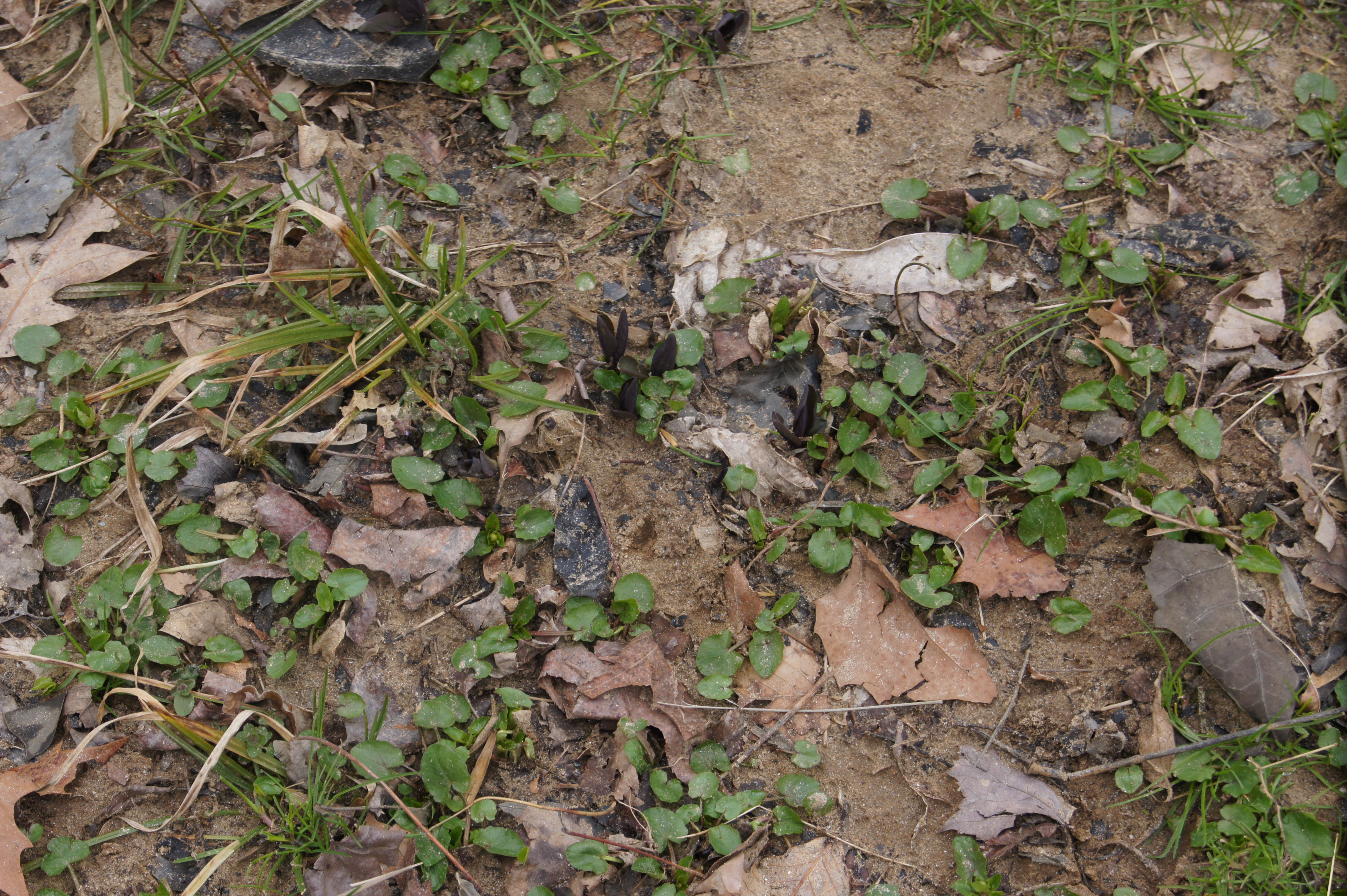
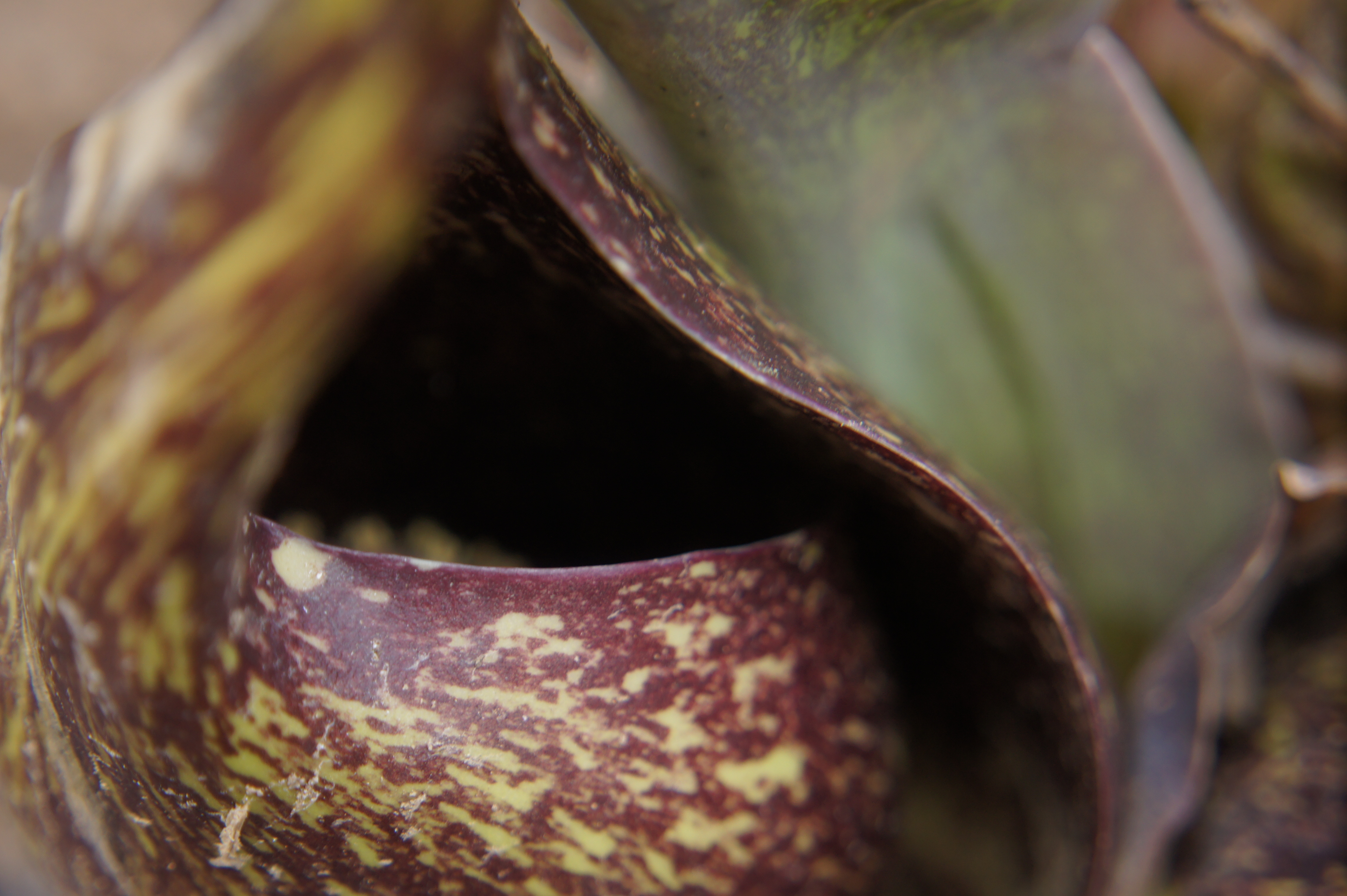
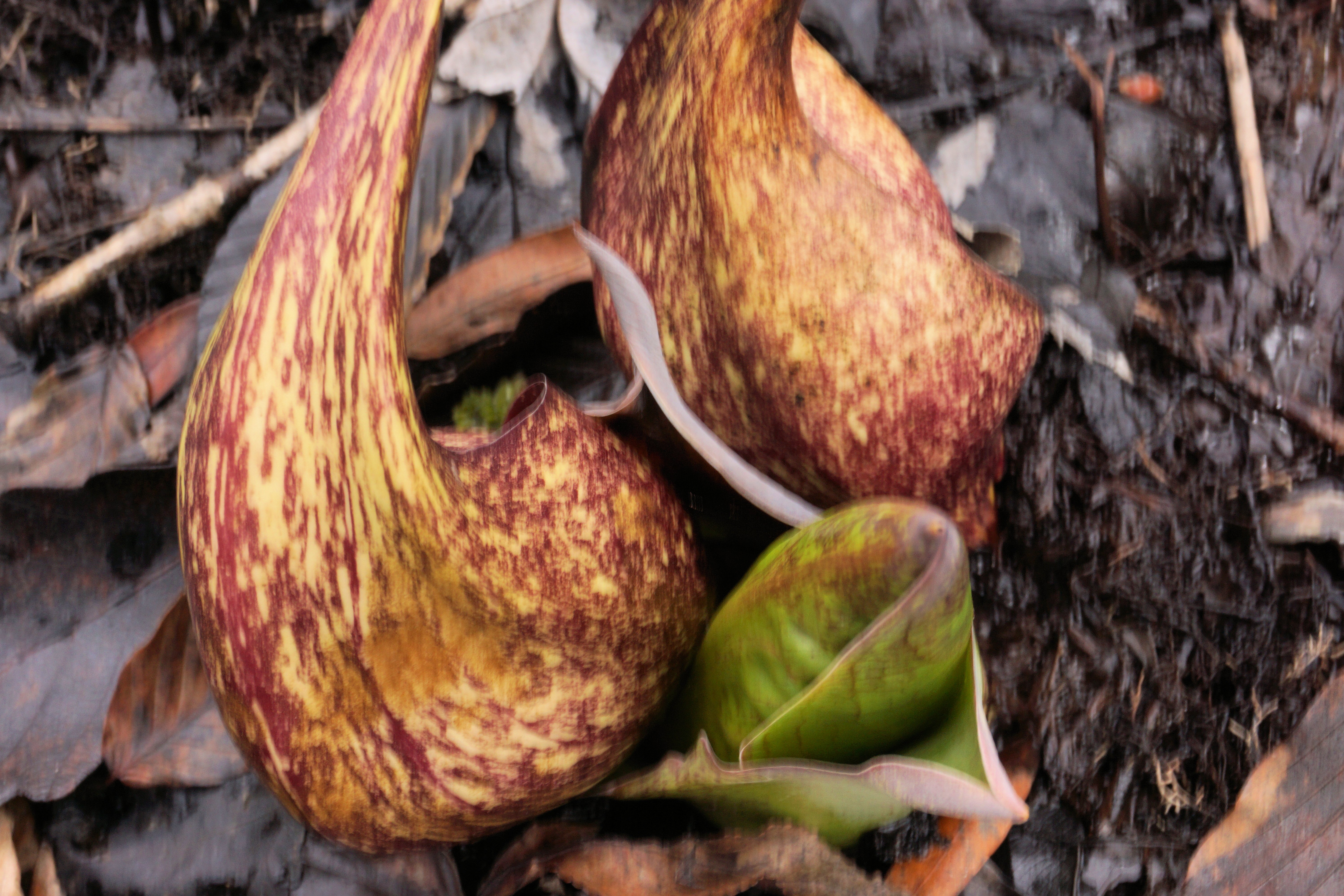
Skunk cabbage (Symplocarpus foetidus) was in full bloom and visible throughout the site. Red maple (Acer rubrum) was just beginning to bloom.
The CFD is about 13 acres in area according to EPA assessment done for the Record of Decision (Environmental Protection Agency, 2000). The total extent of the historic bog is unknown, so it may be difficult to determine how much of the debris and soil from the CFD actually covers the original magnolia bog.
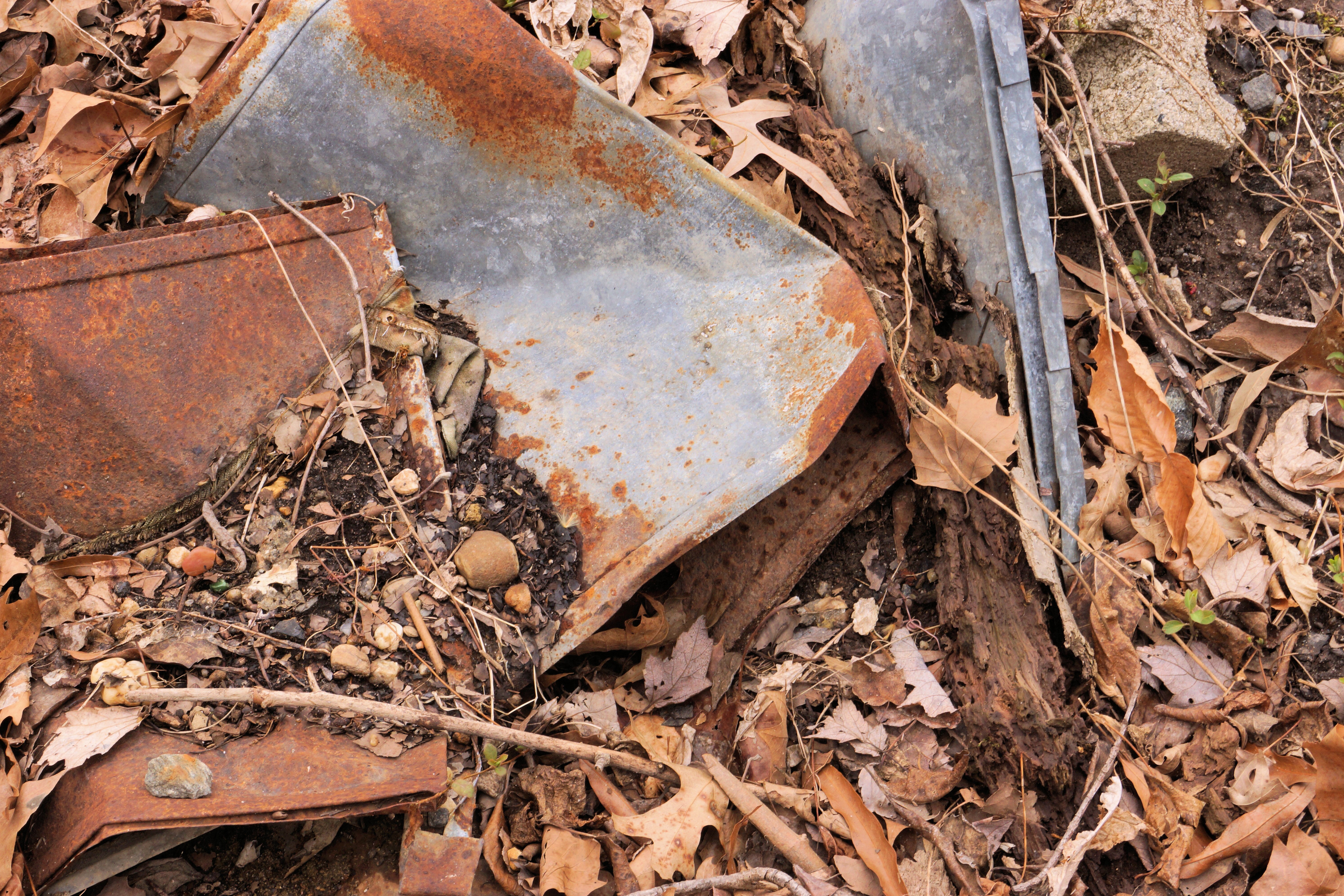
Upon examining the micro-topography of the site and the direction of water flow into the bog, it appears that some toe slope seepages are situated on the western side of the CFD. Based on the author’s understanding of toe slope seepages, it’s possible that debris from the CFD has covered much of these seeps. While there is evidence of toe slope seepages around the CFD margins, it’s hoped that some may have been overlooked and expert confirmation is needed to clarify their status.
A brief inspection of the bog on the southern edge of the CFD revealed no visible contamination or siltation. However, the author lacked the means to conduct chemical water testing. Assessments conducted by the Army and EPA might provide valuable information regarding potential chemical contamination levels.
Further investigation is required to confirm the exact habitat type of the area. A comprehensive floristic survey is scheduled for the 2015 planting season. Additionally, research into the historical background of the bog and the CFD will be pursued.
If the bog at the Clean Fill Dump is indeed the same one noted by McAtee in 1918 as located in Odenton, it raises the question of why it remained overlooked by bog enthusiasts until now. The answer likely lies in the fact that the land was originally part of Camp Meade, established in June 1917, which restricted access to scientists (http://www.ftmeade.army.mil/museum/Meade_Intro.html). It’s unclear who initially rediscovered this site, but its designation as a magnolia bog in documents related to the clean-fill dump indicates that knowledge of its existence persisted at least after the land was transferred to the Fish and Wildlife Service. The assessments of the clean fill dump inadequately describe the site, and recent significant research on the area has yet to be found.
CITATIONS
Department of Army. About Fort Meade, Fort Meade Museum On-line. http://www.ftmeade.army.mil/museum/Meade_Intro.html Accessed 10 April 2015.
Environmental Protection Agency. 2000. Record of Decision, Clean Fill Dump (CFD), Operable Unit – 07, Fort George G. Meade, Maryland.
Fish and Wildlife and Wildlife. 2013. Patuxent Research Refuge, Comprehensive Conservation Plan.
Harrison, J.W., W.M. Knapp. 2010. Ecological classification of groundwater-fed wetlands of the Maryland Coastal Plain. Maryland Department of Natural Resources, Wildlife and Heritage Service, Natural Heritage Program, Annapolis, MD. June 2010. 98 pp.
Hitchcock, A.S., Standley, P.C. Flora of the District of Columbia and Vicinity. Vol. 21. 1919.
McAtee, W. L. 1918. A sketch of the natural history of the District of Columbia. Washington, DC: Bulletin of the Biological Society of Washington
Simmons, R., Strong, M. 2001. Araby bog flora surveys. Maryland Native Plant Society, SAMMS.
Simmons, R., Strong, M. 2002. Fall Line Magnolia Bogs of the Mid-Atlantic Region. Audubon Naturalist.
URS Group, Inc. 2011. Draft Final, Second Five-Year Review Report, Clean Fill Dump Operable Unit, Patuxent Research Refuge – North Tract, Anne Arundel County, MD.
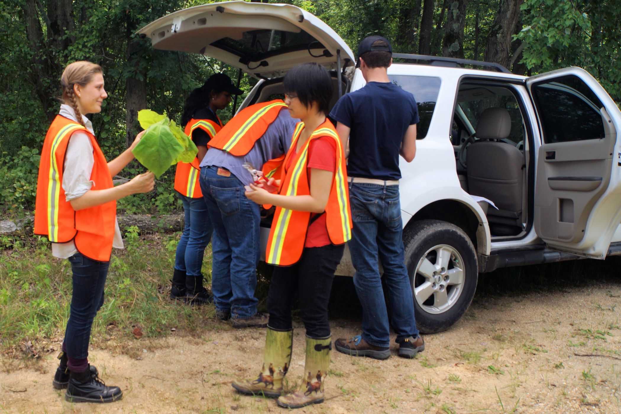
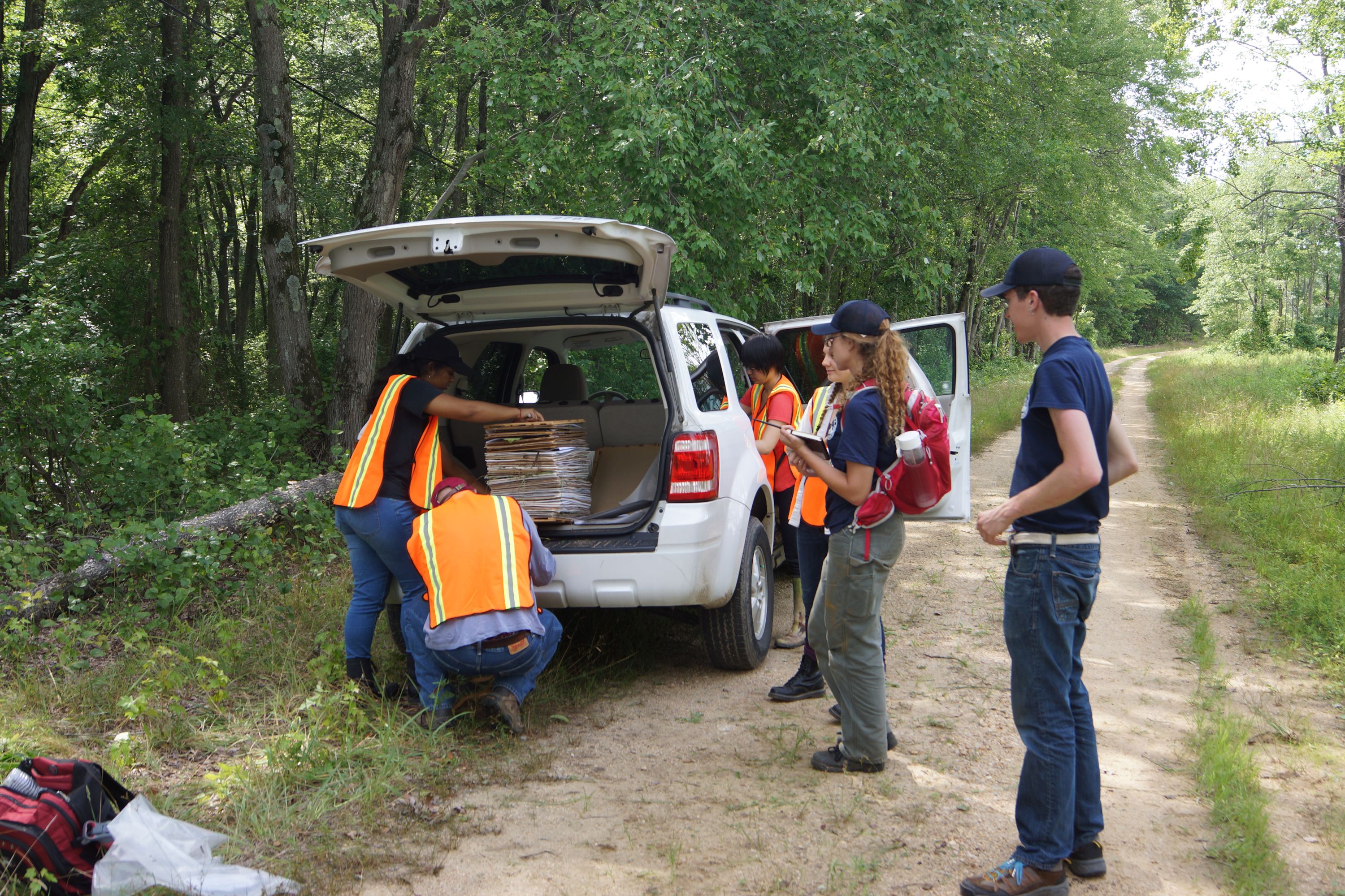
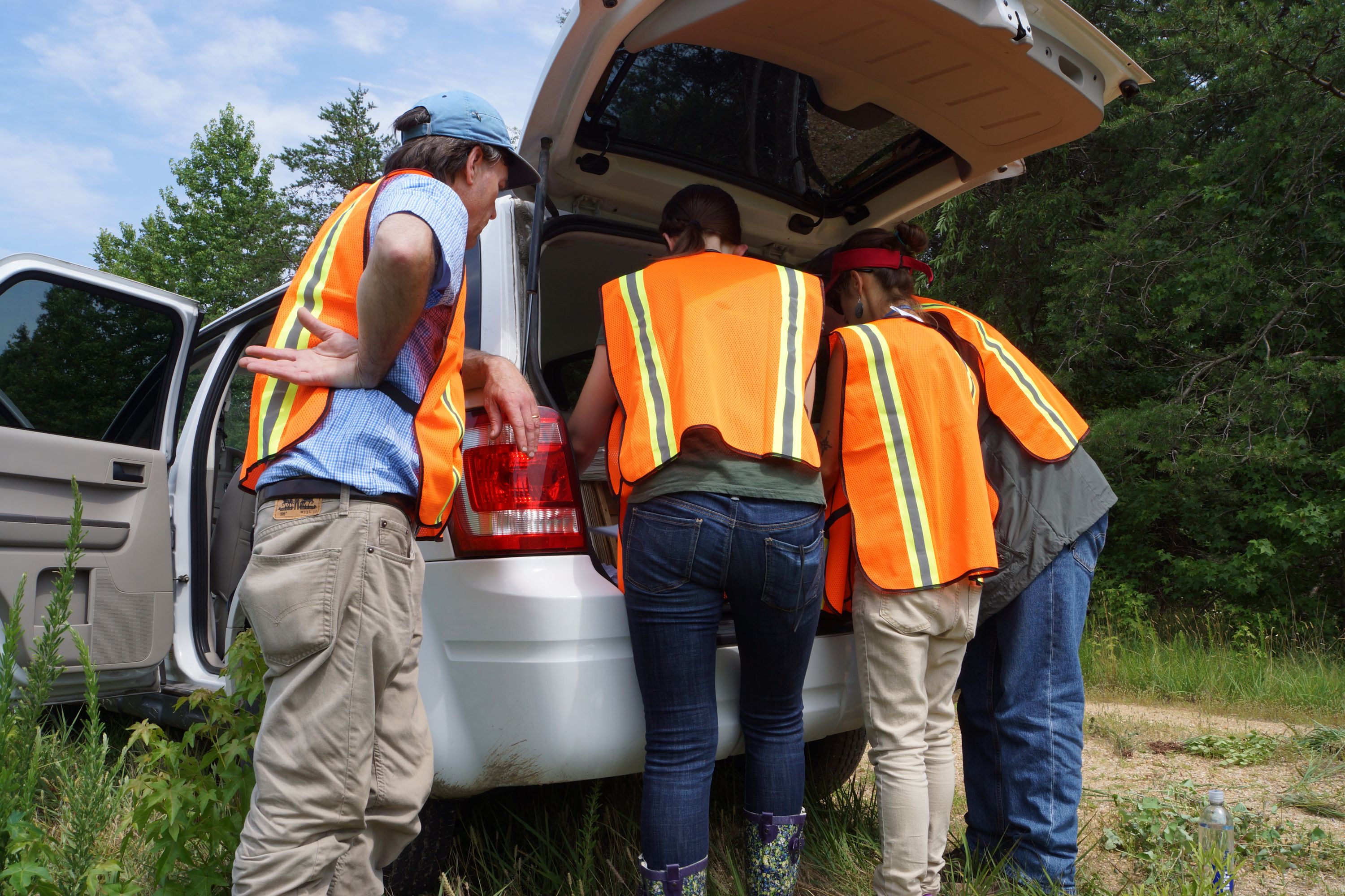

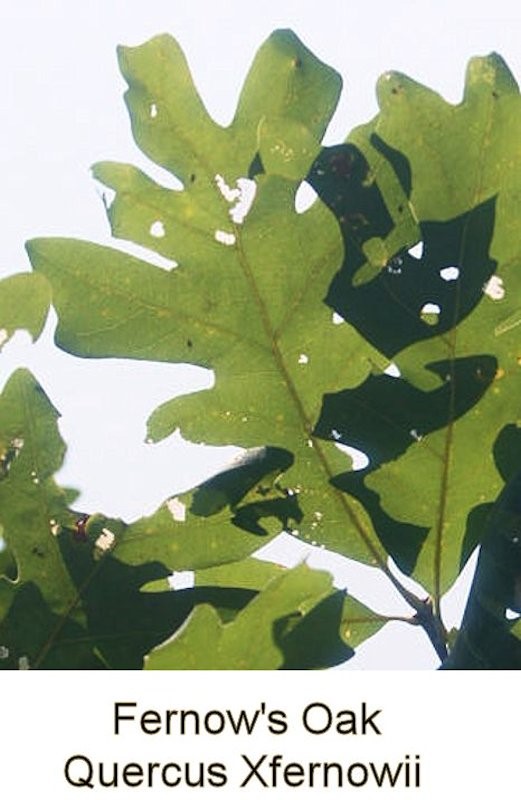
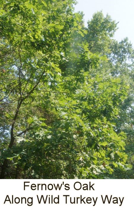
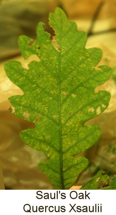
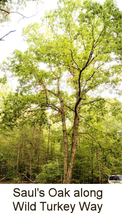
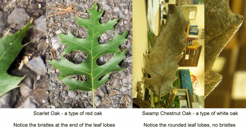 The oak-rich Patuxent Research Refuge has 16 native oak species, one naturalized exotic oak species, and at least ten types of trees that are regarded as oak hybrids. The reason so many oaks species call the Refuge their home is due to the Refuge location near the Fall Line between the Coastal Plain and the Piedmont and at the same time, it is at a crossroads between northern and southern species of oak.