Category Archives: Sites around refuge

22 September 2017 – Hidden Bog – A New Discovery

Dave standing next to a patch of sphagnum moss


Dave Anderson and I spent some time this afternoon locating a previously undocumented Magnolia seepage bog that was recently discovered by the Patuxent Research Refuge supervisory wildlife biologist Sandy Spencer and biologist John Bourne on the Refuge’s North Tract.

The area was very pristine with no noticeable infestation of exotic plant species. We estimated that the bog covered an area of about 1 or 2 acres (a more accurate measurement will be done later.)

This is a fine example of the numerous seepage bogs found on the refuge.


The following species of plants were sighted:

Clethra alnifolia
Magnolia virginiana
Nyssa sylvatica
Liquidambar styraciflua
Ilex opaca
Osmundastrum cinnamomeum
Osmunda regalis
Anchistea virginica
Carex ssp.
Quercus palustris
Pinus virginiana
Smilax glauca

A more complete inventory will be done later.  (Scroll down to see more photos of the bog.)

Sweet Bay Magnoila
Sweet Bay Magnoila

Clethra alnifolia

Bald Cypress – Taxodium distichum – 24 June 2016

Today, I forayed on the South Tract and spotted a bunch of Bald Cypress trees thriving in a swampy area next to Reddington Lake.  Bald Cypress is not native this far north, but can do all right when planted in the right place.  In this case, they were planted by Fran Uhler back in the 1960’s or 1970’s.  They are doing just fine and some of the trees are producing cones and seeds. In fact, these trees have established themselves with several younger trees growing next to the larger ones.

Image6

Image2

26 June 2015 – Chestnut Oak – Mountain Laurel Forest

DSC01197Today when foraying around the Chestnut Oak Bog AKA Welchs Bog I checked out the Chestnut Oak – Mountain Laurel Forest (CEGL006299) plant community that surrounds a good part of the bog. This plant community is found in the Mid-Atlantic States and is quite common in the drier areas on the North Tract. The area seen here is just north of the Savanna area on the Northwest side of the North Tract.

Chestnut Oak
Chestnut Oak


The dominate overstory tree is the Chestnut Oak and other oak species can be found in smaller numbers. The other oak species included Black Oak, Southern Red Oak, Willow Oak, White Oak and Scarlett Oak. Red Maple, Sweet Gum, and Black Gum were also spotted. A couple specimens of possible hybrid oaks were seen on the edge of this area where it met the “Savanna.”


DSC01196


A fair number of shrubs and sub-shrubs were also spotted. They include the Mountain Laurel, Paw Paw, huckleberry and blueberries. Green Brier and Bracken Fern was also present.


A windstorm had gone through two days previously and knocked some leaves to the ground. This facilitated taking some close up shots. (Click on the thumbnails for full views of the photos.)

White Oak
White Oak
Willow oak
Willow oak
Black Oak - upper side
Black Oak – upper side
Black Oak - back side
Black Oak – lower side
Scarlett Oak
Scarlett Oak
Bracken Fern
Bracken Fern

20 June 2015 – Duvall Bridge

(Photo above: new planking on the bridge)

Plaque on the bridge


A bridge has existed at this location since the early 1800’s. The current structure was built in 1907 and was closed to traffic in 2009 due to its deteriorating condition. Renovation began in 2013 and it was re-opened in early 2015.


On bridge looking downstream


The bridge ties the North Tract and Central Tract together, and with its re-opening travel time between the two tracts will be cut by up to 45 minutes.

Bridge - looking north from south side
Bridge – looking north from south side

The historic road that is carried by this bridge is called Telegraph Road (It is also called Duvall Bridge Road near the bridge.) Telegraph Road is famous for being the road along which the wire between Baltimore and Washington, DC which carried Samuel Morse’s first telegraphic message in 1844.

Paw Paw patch next to bridge


For even more detailed information about this historic bridge, you can refer to the Jan-Mar 2015 edition of the Friends of Patuxent Newsletter, page 4

On bridge looking upstream

20 June 2015 – Milkweed Meadow

DSC00945


This meadow on the Central Tract is located along Beech Forest Drive near where the powerlines cross MD 197 and as far as I can determine is the largest field of Common Milkweed (Asclepias syriaca L.) on the refuge.

DSC00947


I am not sure of the meadow’s maintenance history, but it is has developed into an ideal location for Milkweed. You can bet that this is probably an ideal place to look for the Monarch Butterfly. The size of the meadow is truly impressive.

DSC00949

DSC00950

20 June 2015 – Whooping Crane Observatory

(Above photo: Two whooping Cranes at Patuxent Research Refuge.)
DSC00922

The Patuxent Research Refuge is home to the USGS’s (United States Geological Survey’s) Patuxent Wildlife Research Center. One of the on-going projects conducted by the USGS there is the Whooping Crane Captive Breeding Program.
DSC00924This actual area where the program is being conducted is not open to the general public. However, the Whooping Crane Observatory is open to visitors by permission and only on special occasions. The cranes involved with the breeding program are kept away from human contact, even from the many of the staff because they are very sensitive to human disturbance. It is my understanding that the two cranes on display and pictured here have been habituated to humans.
DSC00921


Since I only had my macro lens with me, I could not get a clear shot of the cranes. A good telephoto lens would have made the job easier.  Maybe another time.


Reference: Wildlife Festival marks opening of crane observatory at Patuxent Wildlife Research Center (Click on link for full article that appeared in the Baltimore Sun.)

11 June 2015 –
Eastern Prickly Pear –
Opuntia cespitosa

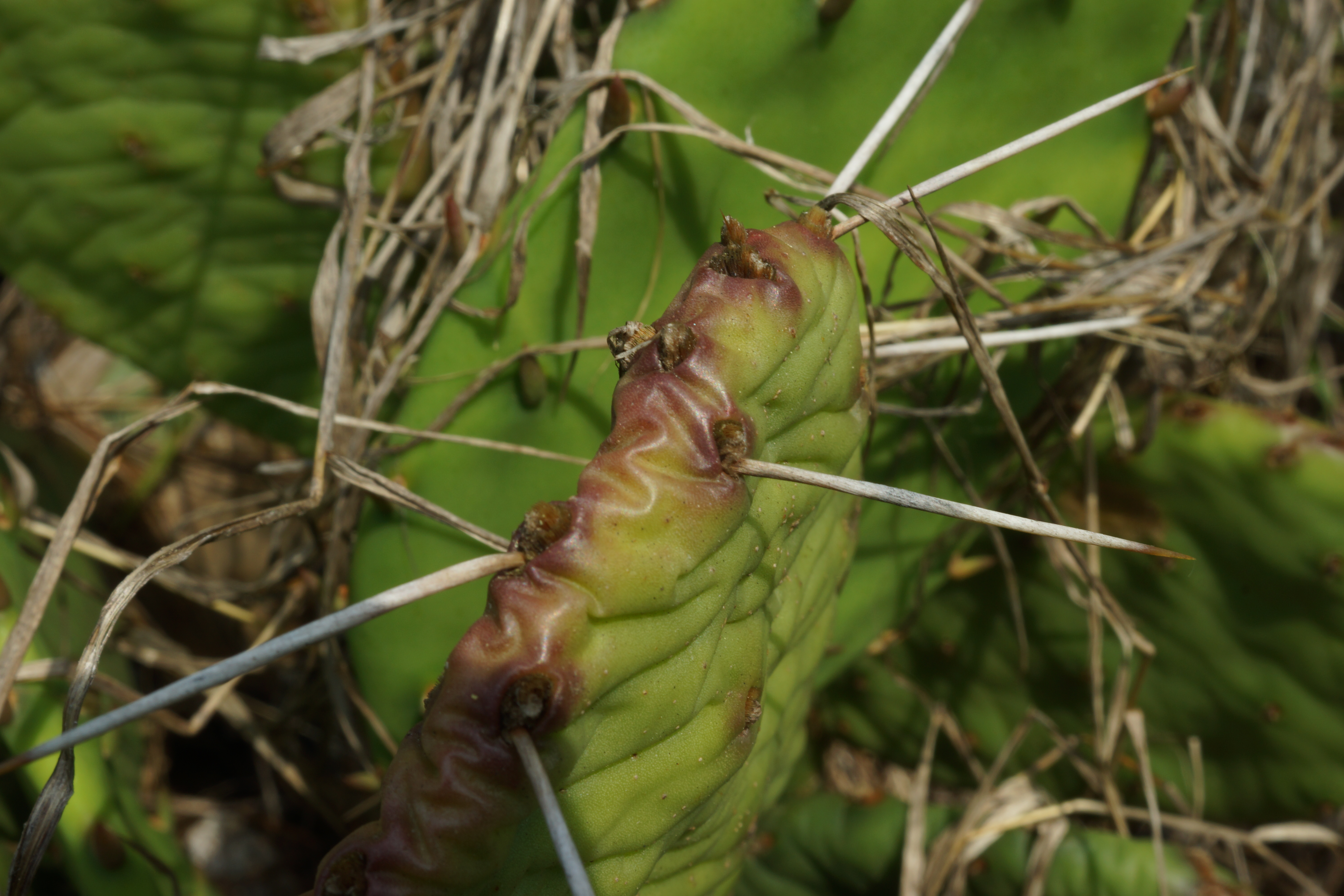
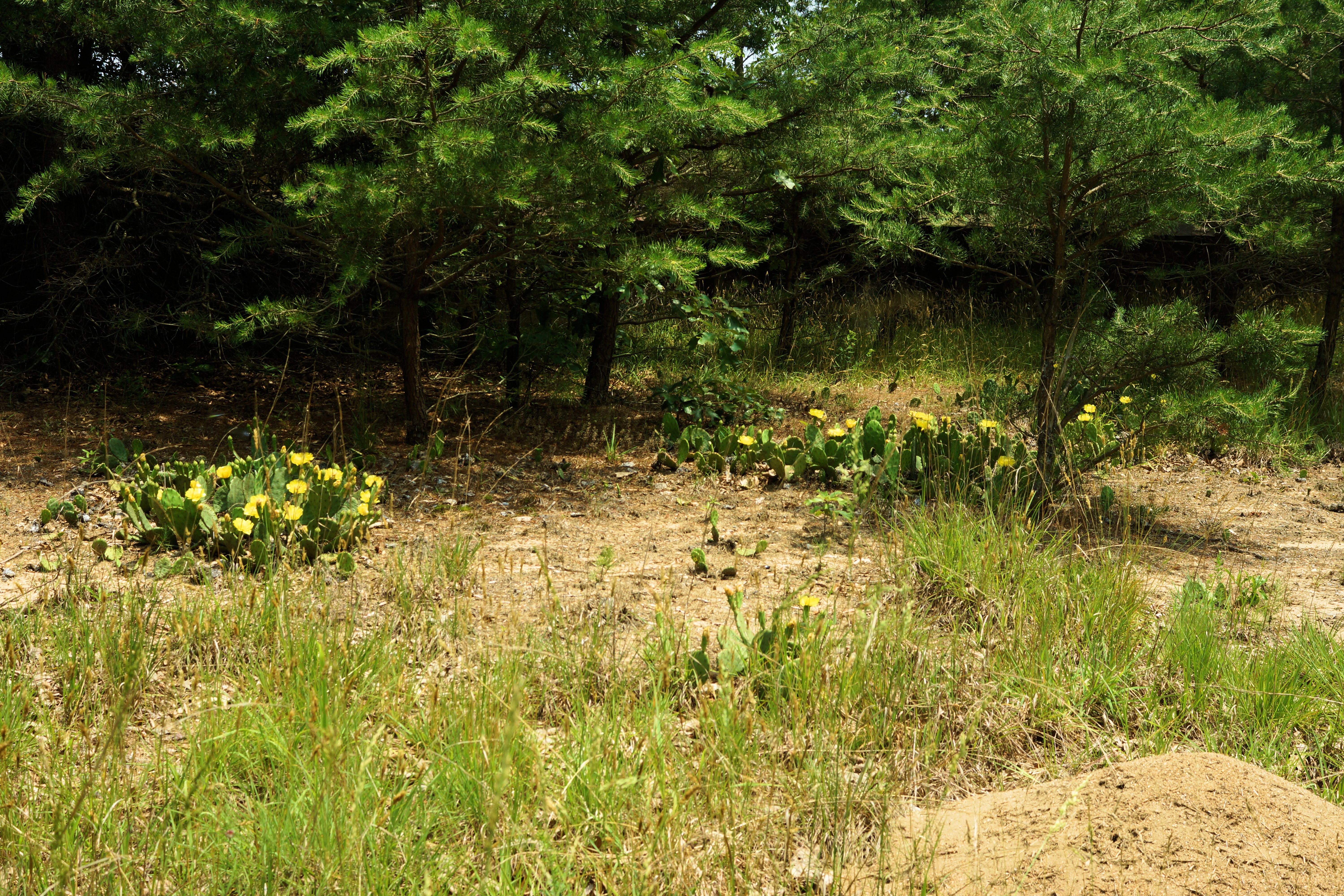
DSC00712This afternoon, I took a quick jaunt out to Lake Allen to take some pictures of the  Eastern Prickly Pear, a type of cactus that is found on the Refuge. Its scientific name is Opuntia cespitosa Raf. Its natural range is primarily west of the Appalachians and east of the Mississippi. However, there are scattered populations of this species along the Atlantic Seaboard from New England to Georgia.

DSC00711


The population on the refuge is rather large, covering several acres. It could be one of the largest populations of cactus in Maryland. On the refuge, it thrives in the sandy soils of the northeastern part of the North Tract by Lake Allen and by the firing ranges.

Allegheny Mound Ant mound in the upper left hand corner

It is shade intolerant and thrives in full sun, and needs well-drained soil.

DSC00695The fruit of the Opuntia cespitosa is edible, and can stay on the plant until the next spring. Here on the refuge, it blooms from late May to mid-June.

DSC00694


In a couple of the shots I had to deal with the pesky Allegheny Mound Ants (Formica exsectoides). Without looking, I plopped down on a swarm of them, and within a minute or so they were crawling all over me. I even had to take one off of my forehead. They are an interesting critter and merit a separate blog entry. You can see a couple of their mounds in the pictures on this page. (More about them in future blog entry)

DSC00688

DSC00684

DSC00687

DSC00689

6 June 2015 – Sweet Pepperbush Bog

DSC00616Although this seepage swamp, which is located in the northwest part of the North Tract along Sweet Gum Lane, is only a short distance from the road, it is not clearly visible unless you are carefully looking for it. It is named for the abundance of Clethra alnifolia L. (Sweet Pepperbush) found here.

During my foray today to this site, I took a cursory inventory of the plants. There were several species of Carex  (Sedges) popping up among the sphagnum moss.  Osmundastrum cinnamomeum (L.) C. Presl (Cinnanom Fern) and Smilax rotundifolia L. (Roundleaf Greenbrier) were also abundant.

This plant community appears to be a variant of the Coastal Plain/Piedmont Acidic Seepage Swamp:CEGL006238. (I will be going back to this site to make a more complete inventory.DSC00608

Thanks to Alan Weakley for identifying the Clethra alnifolia L. (Sweet Pepperbush).  Yes, I am familiar with this species on the refuge, but I have been identifying it by its flowers and fruits, which will appear later in the season.

DSC00612


DSC00611


DSC00610


DSC00606


DSC00617

29 May 2015 – Six-spotted Fishing Spider

Spider on top of water waiting for prey

Today while visiting the Pitch Pine Wetlands, I spotted my first ever Six-spotted Fishing Spider (Scientific name: Dolomedes triton Walckenaer). She did not seem to be bothered by my poking around. I think she was just patiently waiting for something to come by for her to prey on. From what I understand, this is a female because of her size, from leg-to-leg; she was about 2.5 inches. Males are smaller.

They are found throughout North America, from southern Canada to Northern Mexico and are more common east of the Rockies. They travel on the water surface like water striders, and will dive underwater to capture prey. They will eat anything that lives in water like invertebrates, tadpoles and even occasionally small fish. They will dive and hold on to underwater vegetation when frightened.

The females will lay their eggs from throughout the summer. The males conduct a ritual courting dance to attract a female, and after they mate, the female will many times eat the male, like a black widow. She then builds a spherical sac in which she lays her eggs. The egg sac is usually placed among vegetation and guards it until the young spiders hatch after about a week.

11 May 2015 – Deerberry – Vaccinium stamineum

Close up of flowers
Close up of flowers

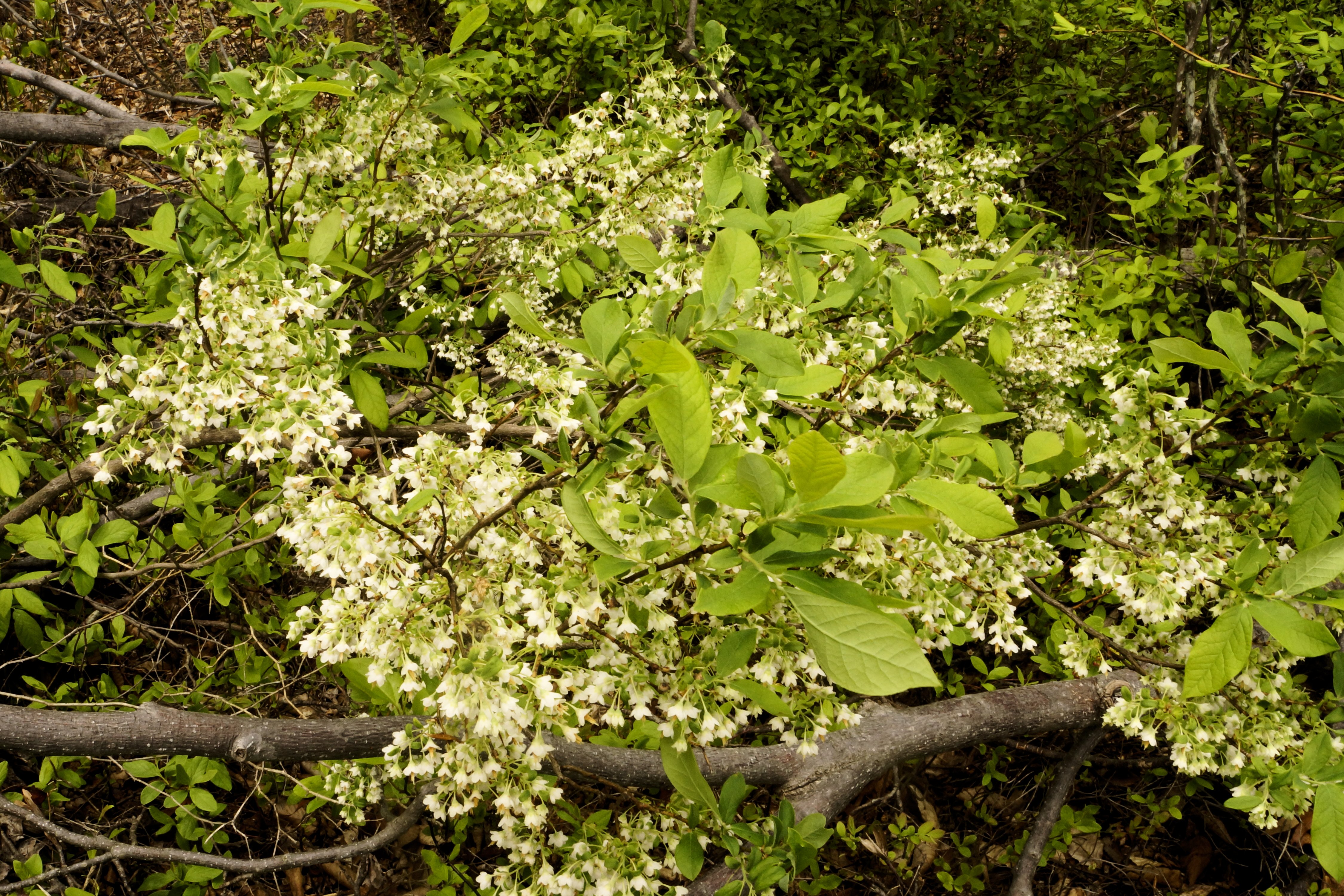
This afternoon, I went looking for bogs that I had not found yet.  On the edge of one of the bogs were some Deerberry (Vaccinium stamineum) bushes.  They were putting on a showy display so I decided to photograph them.


Almost ripe berries (photo taken in July 2011)


Deerberry is a member of the genus Vaccinium which features blueberries, cranberries, and in the Pacific Northwest some types of huckleberries. It is native to eastern North America from Maine to Texas, and can be found in Ontario, Canada. Its fruits are edible to humans. They are readily eaten by various animals. Its twigs and foliage is relished by deer.

Once established, a single plant can form a large clonal thicket.  I just think it is a beautiful plant when in bloom.


Upper side of leaf
Upper side of leaf
Lower side of leaf
Lower side of leaf


Cluster of flowers
Cluster of flowers

25 April 2015 – Primrose-leaved Violet – Viola primulifolia L.

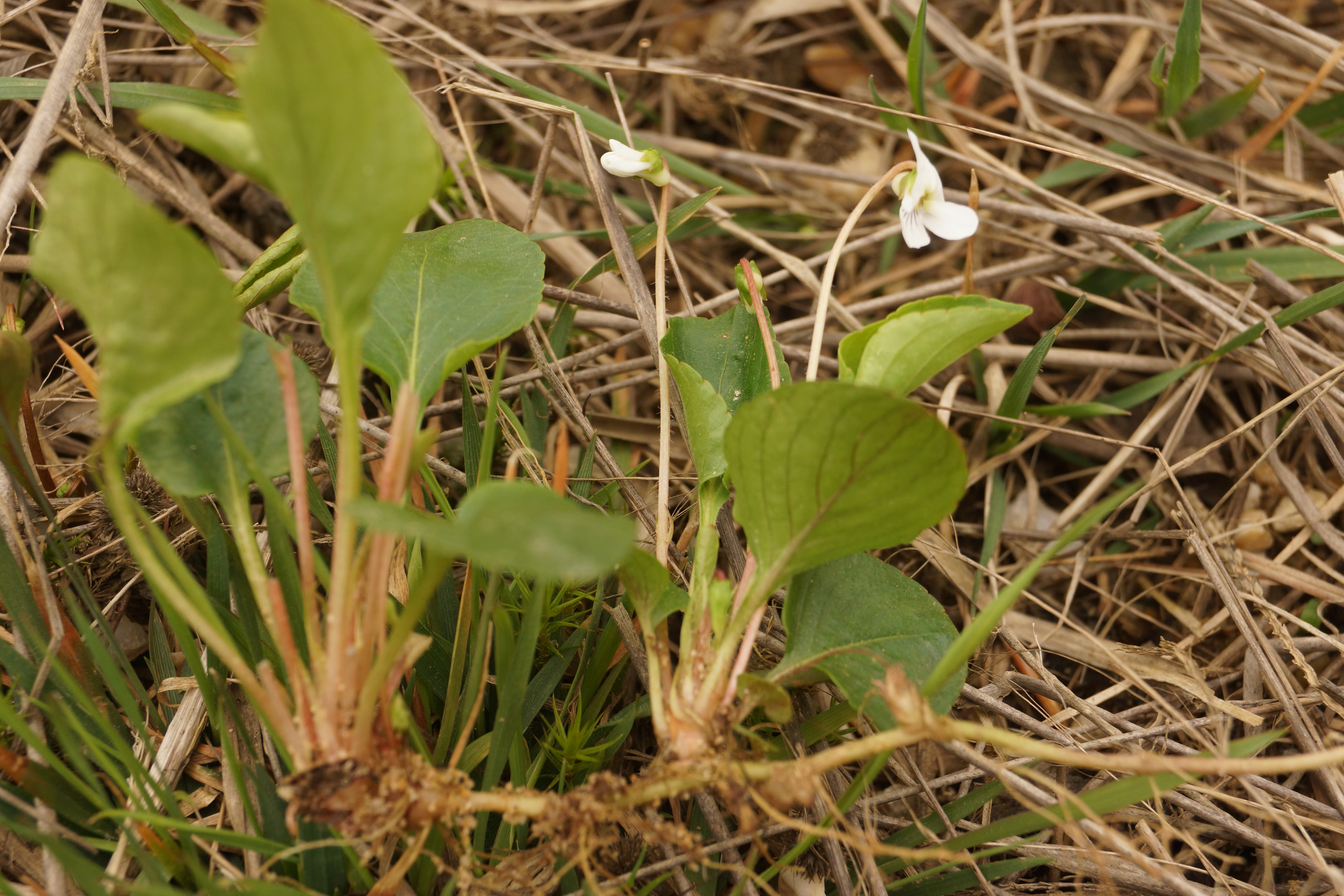
(Photo above: a picture of a plant with the rhizomes clearly visible.)

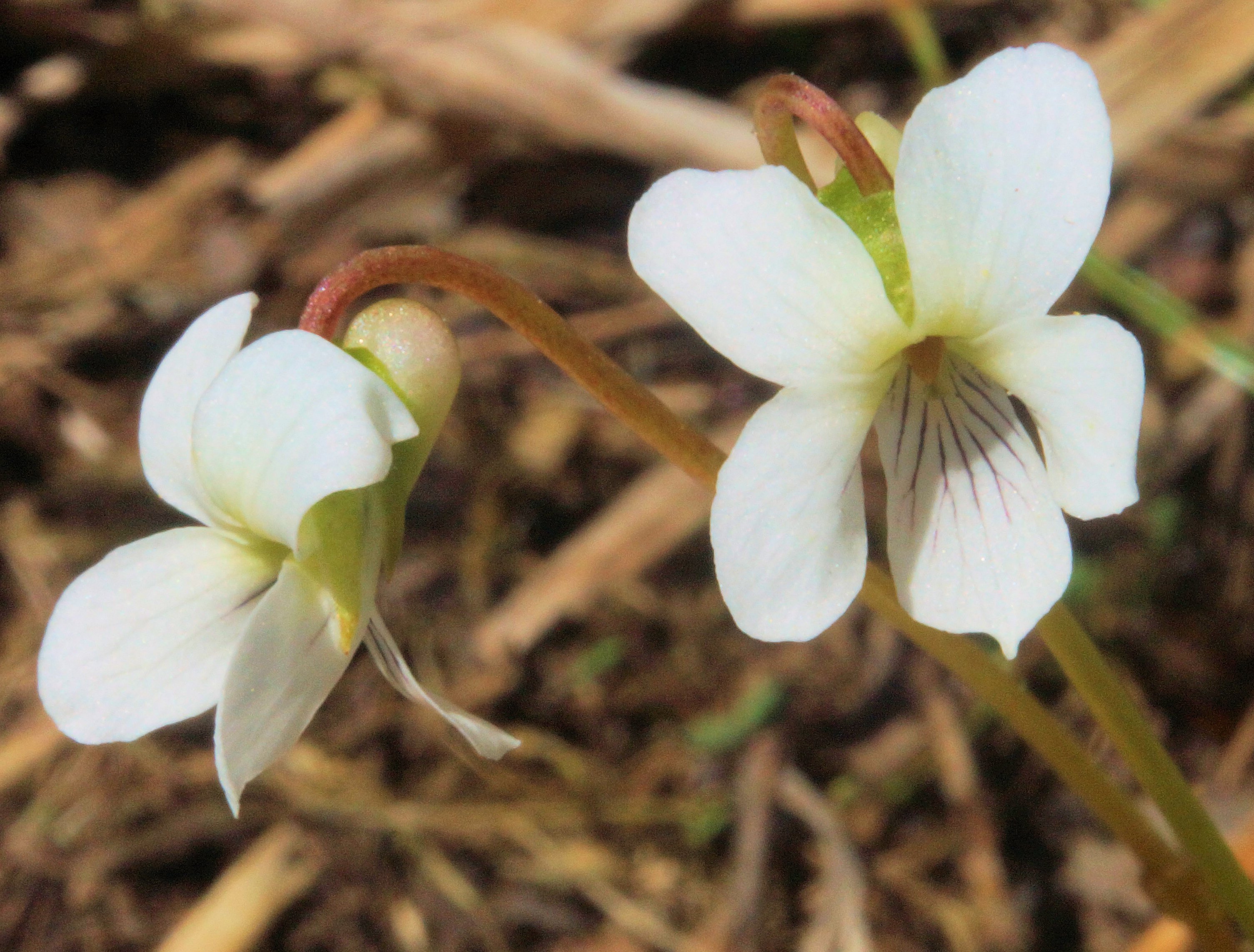
A look at the inner part of the flower.  You can see the beard hairs on the lateral petals and the purple lines on the lower petal.
A look at the inner part of the flower. You can see the beard hairs on the lateral petals and the purple lines on the lower petal.


Today I had the privilege of taking Bill Hubick and Michael Ostrowski on an abbreviated tour of the North. Along the way, we found this cute little plant called a  Primrose-leaved Violet (Viola primulifolia L. (pro sp.) [lanceolata × macloskeyi]) today along the southern edge of Burr Reed Swamp.


DSC00125


This small-flowered species of violet is found in eastern North America along the east coast from Maine to Florida and to Minnesota to Texas on the west. It likes to have its feet wet, being found in swampy and boggy sites. Its flowering stem is borne on a leafless stalk that rises from the root crown.


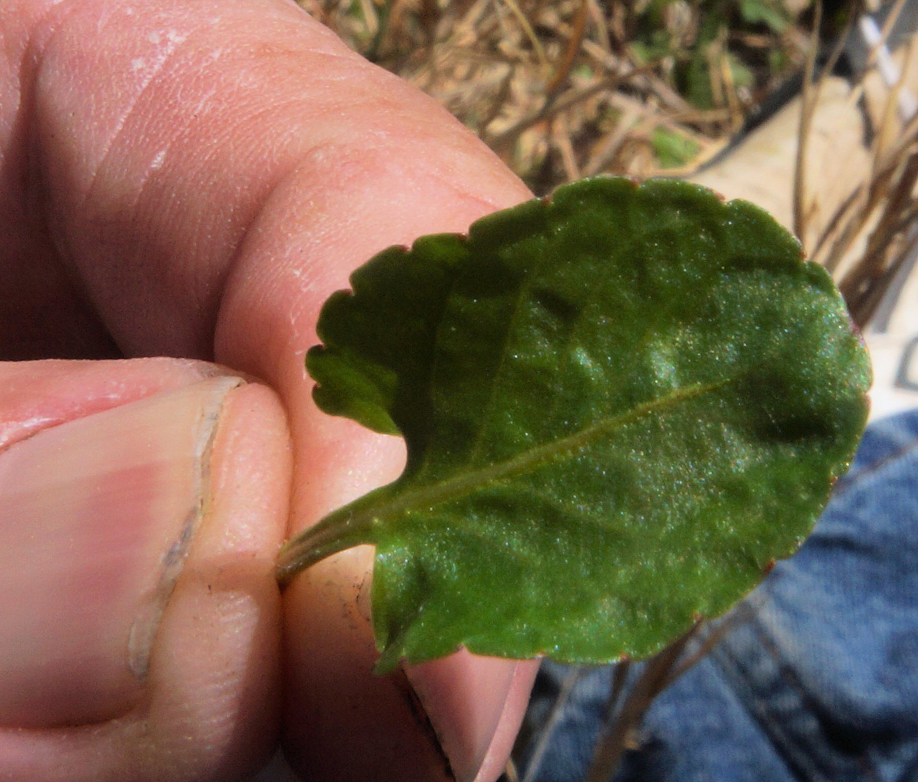
The hairless orbicular shaped leaf.


The leaves are glabrous, which to a botanists means the surface is without hairs or projections. They are orbicular to orbicular-ovate in shape, which means the outline of the leaves resemble an orbit.


DSC00127 (2)

Plants spread vegetatively via creeping rhizomes with stolons (prostrate stems) and are capable of producing sizable colonies.


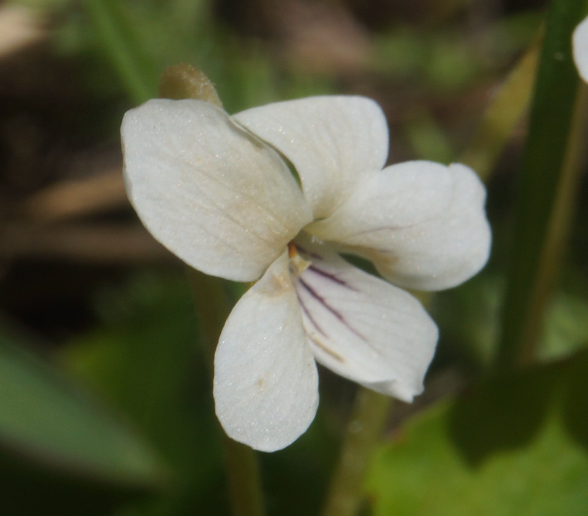
Full view of the flower.

The flowers are only 1/4 to 3/8 inch across. The lateral petals are bearded and lower petal has purple lines.


Below are some random shots of other Viola primuifolia plants found on the random. Click on each for the full sized view.

DSC00203


DSC00202


DSC00196


DSC00194


DSC00193


DSC00192


DSC00191


DSC00190


DSC00188


DSC00187


Image1


DSC00210


DSC00209


DSC00208


DSC00207


DSC00206


DSC00205


DSC00204

23 April 2015 – Blue Marsh Violet

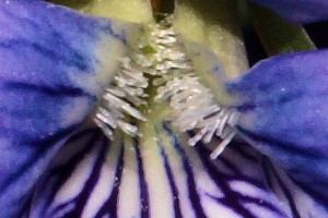
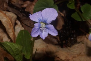
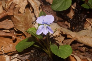
DSC00082 close upToday, I drove down Telegraph Road stopped by a swamp about a 1/2 mile south of Wildlife Loop. The swamp is called a Southern New England/Northern Piedmont Red Maple Seepage Swamp (USNVC: CEGL006406). In the swamp, I found a bunch of violets which turned out to be a Blue Marsh Violet (Viola cucullata Aiton).
DSC00082

This violet’s most distinctive characteristic is the club-shaped (clavate) hairs on the lateral petals, which you can see in the photo here. It is native in North America from Minnesota to Ontario to Newfoundland on the north to Georgia in the South. It likes wet boggy soil just like where I found it on the refuge.
DSC00083

Violas can be divided into two different types, acaulescent and caulescent. In acaulescent species the flowers are born on a stem that rises directly from the root crown. In caulescent species, the flowers are born on a leafy stem.  The Blue March Violet is an acaulescent species.


CITATIONS:

Brown, M.L. and R.G. Brown. 1984. Herbaceous Plants of Maryland. Port City Press, Baltimore, MD.

Gleason, H. A. and A. Cronquist. 1991. Manual of the Vascular Plants of Northeastern United States and Adjacent Canada. 2nd ed. New York Botanical Garden, NY.

McKinney, L.E. 1992. A taxonomic revision of the acaulescent blue violets (Viola) of North Am. Sida Botanical Miscellany, 7: 1–59

Nature Serve. Ecological Association Comprehensive Report – http://explorer.natureserve.org/servlet/NatureServe?searchCommunityUid=ELEMENT_GLOBAL.2.688675 Accessed 23 April 2015.

Nature Serve. Viola Cucullata Comprehensive Report. http://explorer.natureserve.org/servlet/NatureServe?searchName=Viola+cucullata Accessed 23 April 2015.

Weakley, A.S. 2014. Flora of the southern and mid-Atlantic states. University of North Carolina Herbarium, North Carolina Botanical Garden, University of North Carolina, Chapel Hill.
22 April 2015 – Mature Pitch Pine Grove

DSC00068At the corner of Sweet Gum Lane and the road that leads to the BGE powerline Right of Way, there is a small grove of mature pitch pine. One or two of them are in the running to be state champions. From what I have been able to gather, there was a small village near this site. As late as 1926, several buildings and at least one church were located nearby according to a USGS map (USGS 1926). For convenience, I call this area Old Village Corner.

DSC00067Since there are some large mature pitch pine trees here, I began to wonder what type of plant community this could be. After researching on the internet, it looks like this area could be a variant of the Pine Barrens Pine – Oak Woodland (USNVC: CEGL006329). (It is also called the Pinus rigida Quercus coccineaQuercus falcata / (Quercus marilandica) / Gaylussacia frondosa Woodland.) In addition to the above oaks, Quercus phellos and Quercus prinus are significant trees. Some of the area seems to be degraded somewhat perhaps due to human intervention and the encroachment of invasive plants. The area to the north seems to be in fairly good condition.


DSC00042


What is interesting is the white sandy soil in the area.


DSC00070


Even further to the north, the plant community transitions into another type that does not contain pitch pine. There is a good amount ericaceous undergrowth at this location.


DSC00035


DSC00064


The refuge has also had some prescribed burns here.


CITATIONS:

Simmons, Rod. 2013. Heath Diversity in Maryland: Distribution and Representative Natural Community Types. Maryland Native Plant Society

Teague, J., L. Sneddon, R. Simmons, J. Parrish, M. Tice, and M. Strong. 2006. Upper Anacostia Watershed Plant Communities of Conservation Significance. NatureServe, Arlington, Virginia.

United States Geological Survey. 1926. Laurel , Maryland Quadrangle Map


ADDITIONAL PHOTOGRAPHS (Taken at same location in November 2014)

DSC00303

DSC00337

DSC00335

DSC00334

DSC00331

DSC00330

DSC00329

DSC00327

DSC00326

DSC00323

DSC00322

DSC00320

DSC00319

DSC00318

DSC00317

DSC00316

DSC00315

DSC00314

DSC00311

DSC00309

DSC00307

DSC00306


21 April 2015 – Water Flow through the “Bog”

(Above photo: a view of the “bog” from the northeast corner. You can see Japanese barberry in the foreground.” In the mid-ground, there is vernal pool. In the background, you can see the “bog”.)

These are pictures of water flowing through the “bog.” At this location, there was a very slight ripple and you could plainly see some algae filaments waving in the passing water. While, most of the water at the site was not noticeably moving, here and there you could see places like the one pictured below with water flowing.

DSC00026

DSC00028

17 April 2015 – Bizarre sight – Tree growing around a concrete slab that fell on the tree

This is one of the most bizarre sights I have found on the refuge. It is tree growing around a concrete block, almost as if it is trying to swallow it. The tree had no leaves yet, but I believe it was a Southern Red Oak (Quercus falcata) based on the bark and the leaves on the forest floor around it. I will check it out later to be sure.

DSC00006

DSC00003

16 April 2015 – Hydrology at the Odenton/CFD Magnolia Bog Site

Photo above – A seepage near the Magnolia Bog. Note the seemingly omnipresent greenbrier – 11 April 2015

Here is my first take of the hydrology of the Odenton/Clean Fill Dump (CFD) magnolia bog site. I hope this article may spur some thought about what kinds of seepage wetlands exist at this site. (Please bear with me as I present my assessment as I am not a professional hydrologist.) This assessment is based on my fields observations of site and information I gleaned from reading the various EPA and Army assessments of the CFD. Their assessments contain maps and narratives which describe the hydrology of the area. I also referred to several pieces written by local bog enthusiasts. Finally, I used Google Earth to obtain information about the elevations and slopes at the site.

The clays beneath the CFD going down to sea level are said to be essentially discontinuous lenses which do not form specific confining layers. (EPA RoD July 2000). The groundwater level intersects the ground level at an elevation of 78 feet near the Magnolia Bog along the southern edge of the CFD. The seeps at this location attest to that fact. However, the debris from the CFD hides the size of the area of any seepage that may be occurring upslope from the CFD’s southern edge. So we may never the total extent of the seepage and by extension the bog itself.

I explored the area “around the corner” from the CFD for hillside seepage at the toe slope for about 1500 feet to the west. I noticed that the seepages appear randomly at different elevations, suggesting that there is no continuous clay layer or other barrier along the toe slope of the hill. The soils on the surface of these seepages were mixtures of sand and clay. The surface water from these seepages is not directly connected to the Magnolia Bog but rather flow south through a skunk cabbage swamp forest (there is probably a better designation) into Bailey Swamp and then on to the Little Patuxent River. There was more to see to the west, but I ran out of time.

The hill upslope from both the Magnolia Bog and the skunk cabbage swamp forest contain sandy gravel terraces. The exact extent of these terraces is not known, but rainwater percolating through the sandy gravel likely provides the head of water for the seepages at and below the toe slopes in the Magnolia Bog and the area to the west. In no case was there anything that approached the white sand and gravel seepages that McAtee wrote about in his description of the Fall Line Magnolia Bogs. That said, there is a remote possibility that white sand and gravel seepages may be hidden by the CFD debris or in a location I simply missed.

So, I would would love to be proven wrong, but I conclude that if white sand and gravel seepages are a requirement for the classic Fall-line Gravel Terrace Magnolia Bog plant community, the CFD/Odenton Magnolia Bog is not one. However, it is definitely a forested seepage wetland and could very well be the same Magnolia Bog in Odenton that McAtee described in 1918.

Finally, we must leave open the possibility that the hydrology may have been significantly altered since McAtee’s time because of the CFD and the construction of the road now known as Wildlife Loop to the east of the site. Additionally, the amount of change of the floral composition in the last roughly 100 years since McAtee may not be known.

Bill Harms

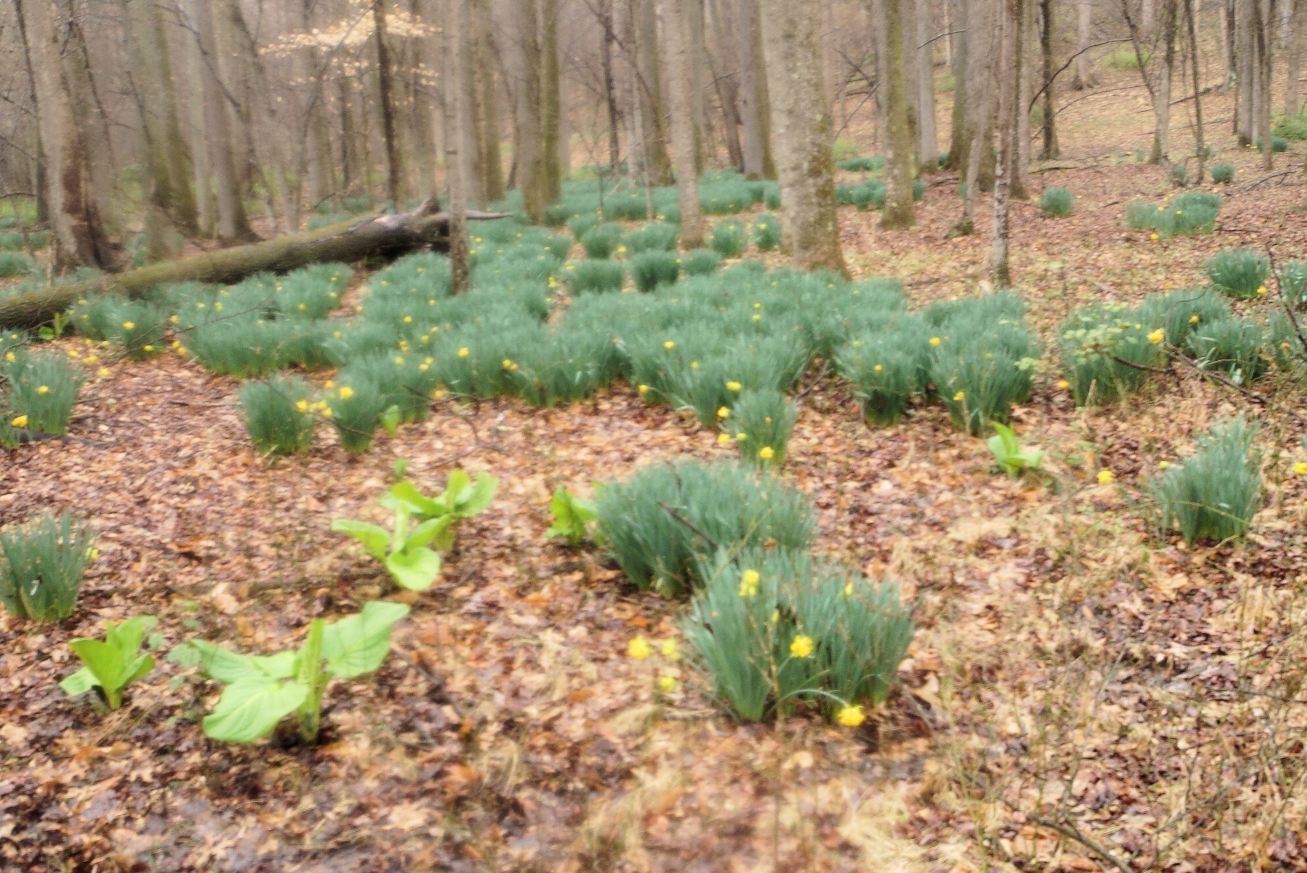
A nice patch of daffodils planted by someone a long time ago. You can see a seep with some skunk cabbage in the lower left corner.