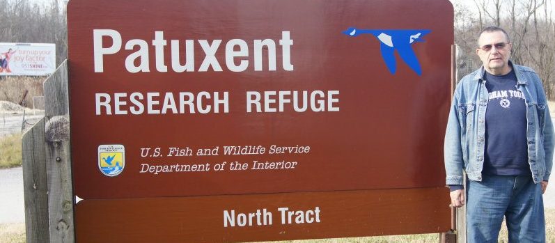
Dave Anderson and I spent some time this afternoon locating a previously undocumented Magnolia seepage bog that was recently discovered by the Patuxent Research Refuge supervisory wildlife biologist Sandy Spencer and biologist John Bourne on the Refuge’s North Tract.
The area was very pristine with no noticeable infestation of exotic plant species. We estimated that the bog covered an area of about 1 or 2 acres (a more accurate measurement will be done later.)
This is a fine example of the numerous seepage bogs found on the refuge.
The following species of plants were sighted:
Clethra alnifolia
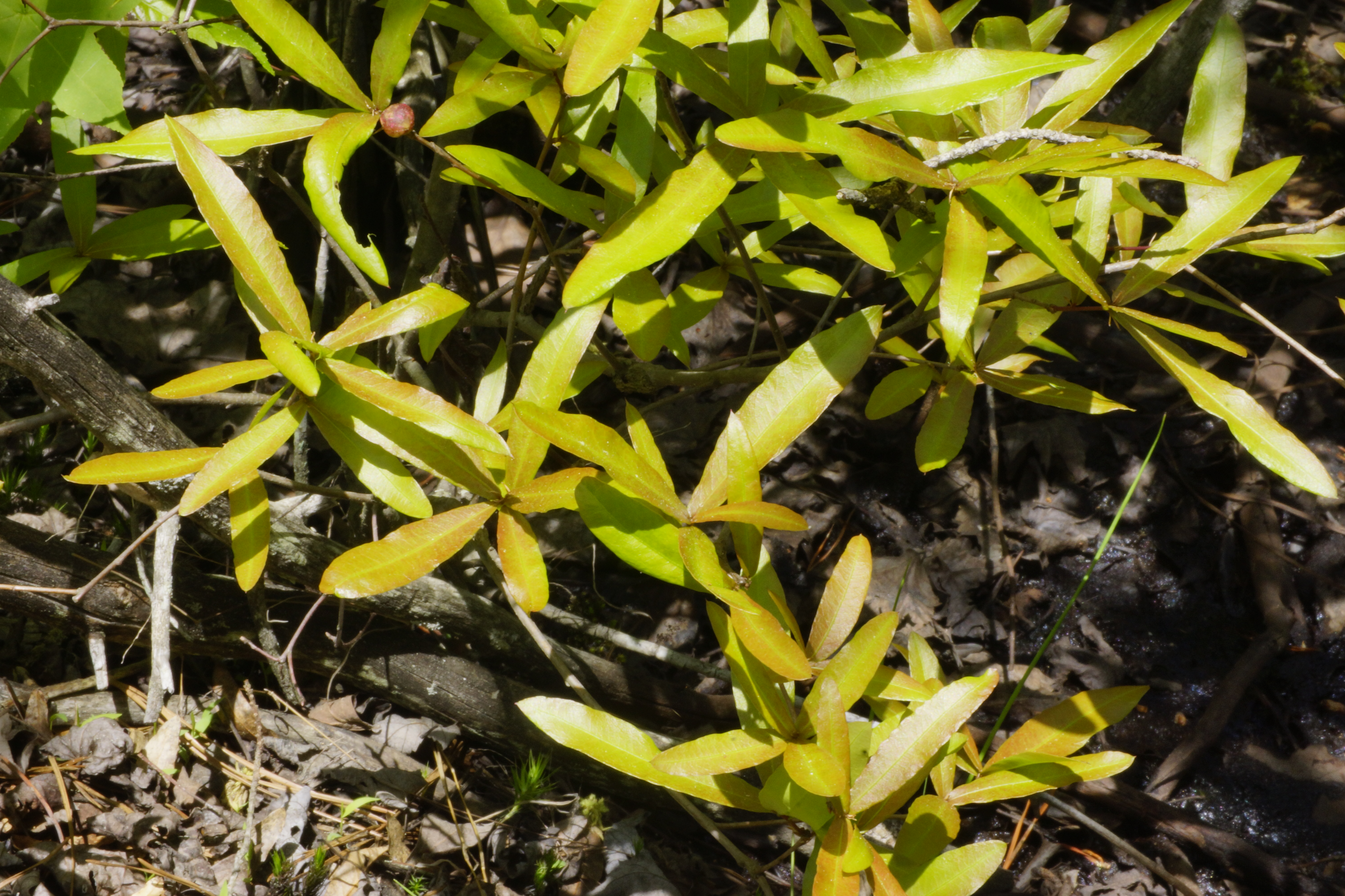
Magnolia virginiana
Nyssa sylvatica
Liquidambar styraciflua
Ilex opaca
Osmundastrum cinnamomeum
Osmunda regalis
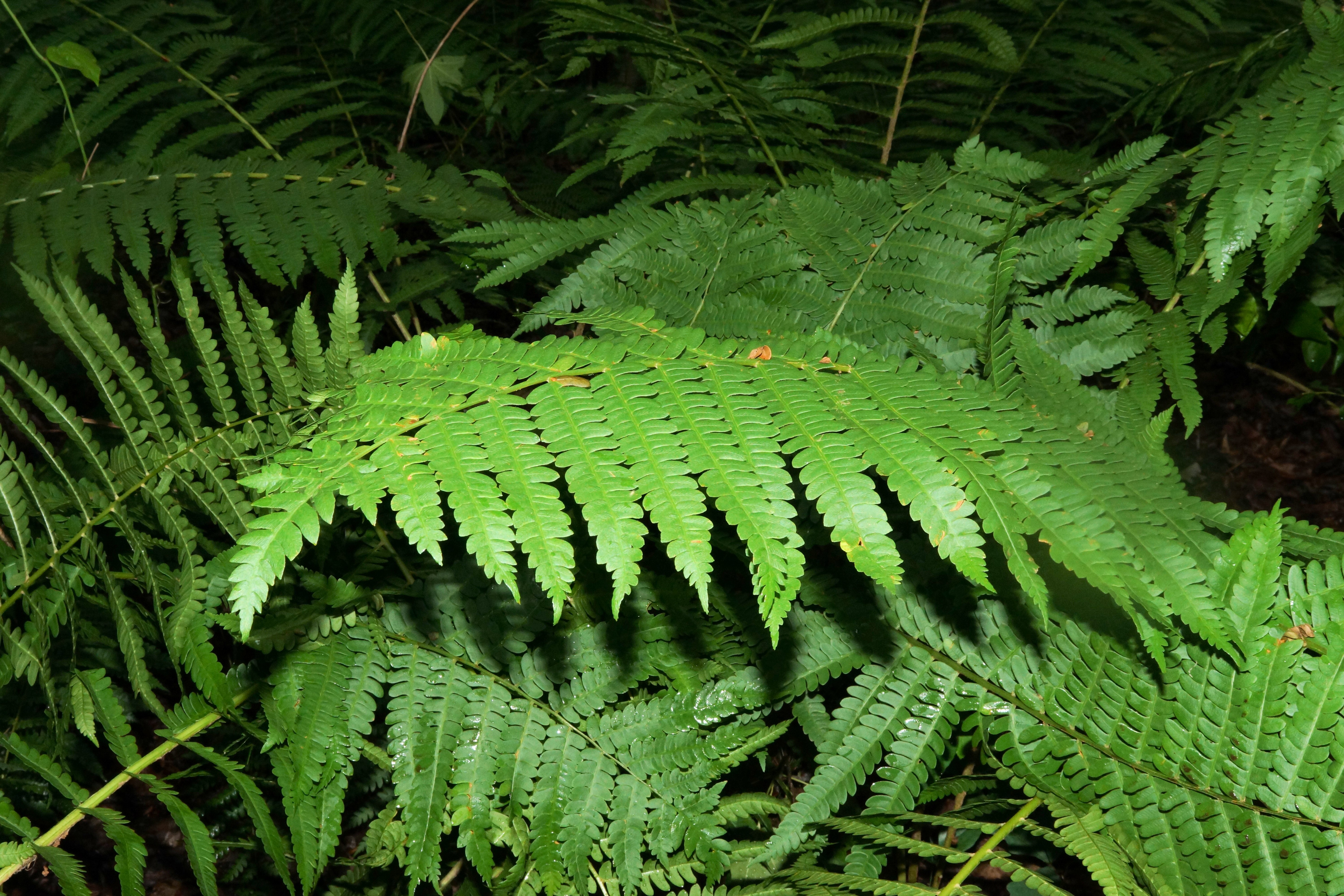
Anchistea virginica
Carex ssp.
Quercus palustris
Pinus virginiana
Smilax glauca
A more complete inventory will be done later. (Scroll down to see more photos of the bog.)
Spent about 3.5 hours on the refuge today. My main task was to locate the boggy area just north of the “Savanna” off of Sweet Gum Lane. I did not know what to expect, and was pleasantly surprised. The topography of this bog is steeper than most of the bogs on the refuge, and as a result, the water was flowing rapidly.
Closer view of vegetation
The bog is a variant of the Red Maple Acidic Seepage Swamp (CEGL006238) plant community. The striking thing about the bog at this location Chestnut Oak plant community which surrounds it. The bog feeds a creek called Welch’s Creek and we call this wetland Welch’s Bog as a result.
Chestnut Oak leaves
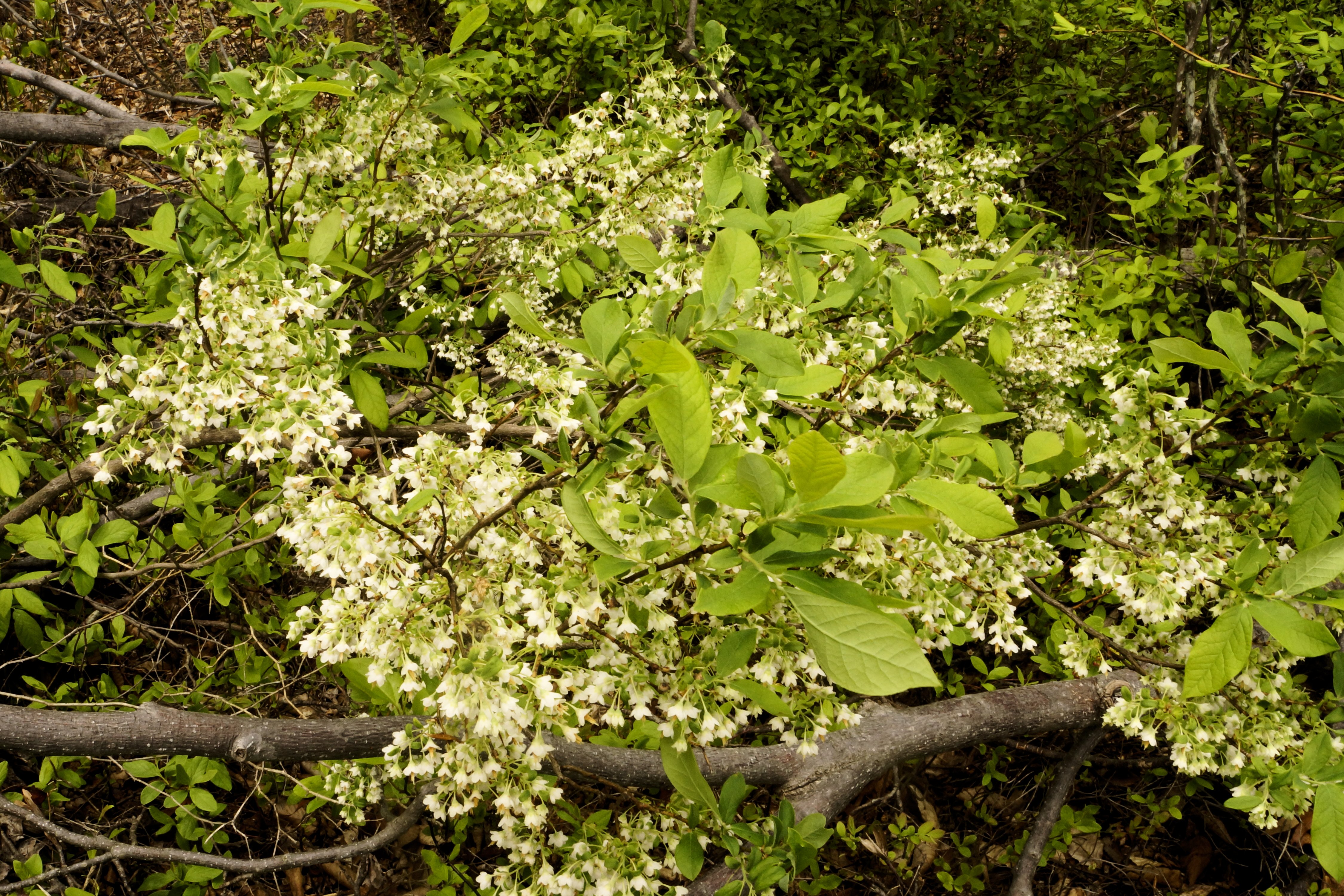
Some of the plant species seen in this bog include Sweet Bay Magnolia, Black Gum, Cinnamon Fern, Royal Fern, American Holly, Paw Paw, Skunk Cabbage, Netted Chain Fern, New York Fern, Carex folliculata, Vaccinium sp., and Indian Cucumber.
Sweet Bay Magnolia
The bog continued on down the hill for some distance. However, I did not have time to investigate further. Future forays to this bog will be undertaken.
Hilltop Bog is the headwaters for one of the small streams which feeds into the Patuxent River. The water from this bog flows in generally south. The plant community is a variant of the Coastal Plain/Piedmont Acidic Seepage Swamp :CEGL006238. The full extent of the bog has not yet been fully surveyed. I will be back here again.
Although this seepage swamp, which is located in the northwest part of the North Tract along Sweet Gum Lane, is only a short distance from the road, it is not clearly visible unless you are carefully looking for it. It is named for the abundance of Clethra alnifolia L. (Sweet Pepperbush) found here.
During my foray today to this site, I took a cursory inventory of the plants. There were several species of Carex (Sedges) popping up among the sphagnum moss. Osmundastrum cinnamomeum (L.) C. Presl (Cinnanom Fern) and Smilax rotundifolia L. (Roundleaf Greenbrier) were also abundant.
This plant community appears to be a variant of the Coastal Plain/Piedmont Acidic Seepage Swamp:CEGL006238. (I will be going back to this site to make a more complete inventory.
Thanks to Alan Weakley for identifying the Clethra alnifolia L. (Sweet Pepperbush). Yes, I am familiar with this species on the refuge, but I have been identifying it by its flowers and fruits, which will appear later in the season.
Today, I took a brief foray to the pitch pine wetland area along Lemmon Bridge Road, and took a bunch of pictures (see below). There were quite a few sweet gum tree and Virginia pines, especially in the areas that looked like they had been historically disturbed. Beaver activity was evident as well. Some trees had been gnawed into and there were two small dams which created a couple of small impoundments. I did not take any pictures of the gravel that had been moved around; those will be taken another time. Many of the trees growing in the wetter areas seemed to be stunted, at least not robust. Interestingly, there were some mountain laurels getting ready to bloom. That is something that you would not expect to see in a wet area like this.
I noticed some Proserpinaca palustris (commonly called Mermaid weed) growing in one of the impoundments.
Click on the thumbnails below for full-sized views.
Pitch Pine in the middle, surrounded by other trees
This afternoon, I went looking for bogs that I had not found yet. On the edge of one of the bogs were some Deerberry (Vaccinium stamineum) bushes. They were putting on a showy display so I decided to photograph them.
Almost ripe berries (photo taken in July 2011)
Deerberry is a member of the genus Vaccinium which features blueberries, cranberries, and in the Pacific Northwest some types of huckleberries. It is native to eastern North America from Maine to Texas, and can be found in Ontario, Canada. Its fruits are edible to humans. They are readily eaten by various animals. Its twigs and foliage is relished by deer.
Once established, a single plant can form a large clonal thicket. I just think it is a beautiful plant when in bloom.
(Above photo: Rod Simmons standing next to a pitch pine in the pitch pine wetland.)
Today, I had the pleasure of showing Rod Simmons, Mark Strong, and Carol Kelloff of the Smithsonian Institute some of the sights (and sites) on the North Tract.
Our first visit was the putative “Magnolia Bog.” We had to hike down the side of a steep hill to get to it. Rod confirmed what I had suspected that the area was the so-called Southern Red Maple – Blackgum Swamp Forest (CEGL006238). The question of whether or not this is the “bog” in Odenton that Waldo McAtee described in 1918 remains, but I believe it probably is.
We next proceeded to the North Tract’s Sundew Bog. This is an area underneath the BGE powerlines where the round-leaf sundew (Drosera rotundifolia) is found. Most of the area under the powerlines at this site is an open bog. Rod and Mark looked to the south of this bog area and east of Lemmons Bridge Road, and discovered which might end up being a new vegetation type for Maryland. While the exact type of this plant community is yet to be determined, it is an unusual Pitch Pine (Pinus rigida) wetland complete with peat and sphagnum moss. This area will be the subject of further research to determine exactly what it is.
After lunch, we visited the pitch pine grove next to the “savanna” area. Rod confirmed my original determination that this was the Pine Barrens Pine-Oak Woodland (CEGL006329) vegetation type. The refuge has conducted at least two prescribed burns in this area and most of the ericaceous plants seemed to love it (Mountain Laurel (Kalmia latifolia) was stunted however).
We also looked at three different hybrid oaks along the way. At one stop along Whip-poor-will Way, Rod pointed out a Coastal Plain / Piedmont Small-Stream Floodplain Forest (CEGL004418) plant community. In the same area, Rod pointed out a Possum Grape (Vitis labruca) vine. I will be going back to collect a voucher specimen when it is more mature.
A good time seemed to be had by all and I look forward to collaborating with these fine folks in the future.
Click on the thumbnails below for a full-sized view.
Carol Kelloff, Mark Strong, Chang-tzu Lew, Bill Harms walking a steep slope to the putative McAtee’s Odenton Bog – Photo by Rod Simmons.
Pitch Pine Wetland – photo by Rod Simmons
Sphagnum moss etc at Pitch Pine Wetland – photo by Bill Harms
Trees in Pitch Pine Wetland – photo by Bill Harms
Pitch Pine Wetland – photo by Rod Simmons
Pine Barrens Pine-Oak Woodland – Photo by Rod Simmons
Pine Barrens Pine-Oak Woodland – Photo by Rod Simmons
(Above photo: A view of what I call the sweet spot in the putative Magnolia Bog.)
Today I made a foray out to the Magnolia Bog to make a quick survey of things. There is an area the middle of the site where the sphagnum moss density is much higher, and the character of the area is visibly different from the area surrounding it. I call it a “sweet spot.” The floral composition seems to be different and the feel of the area was different. I did not have any means to measure the area, but I estimate it covered an area in the range of 1,000 to 2,000 square feet. A more accurate estimate will come later.
View of the area surrounding the sweet spot.
The area surrounding the “sweet spot” is more like what I understand an acidic seepage swamp should be. These plant communities are interesting as well, and can sometimes turn up some surprises.
Below are some photos that I took today of some of the plant species I am in the middle of drawing up a list of all of the plants I have identified thus far and will post it in the next few days.
Click on each of them for full-sized views.
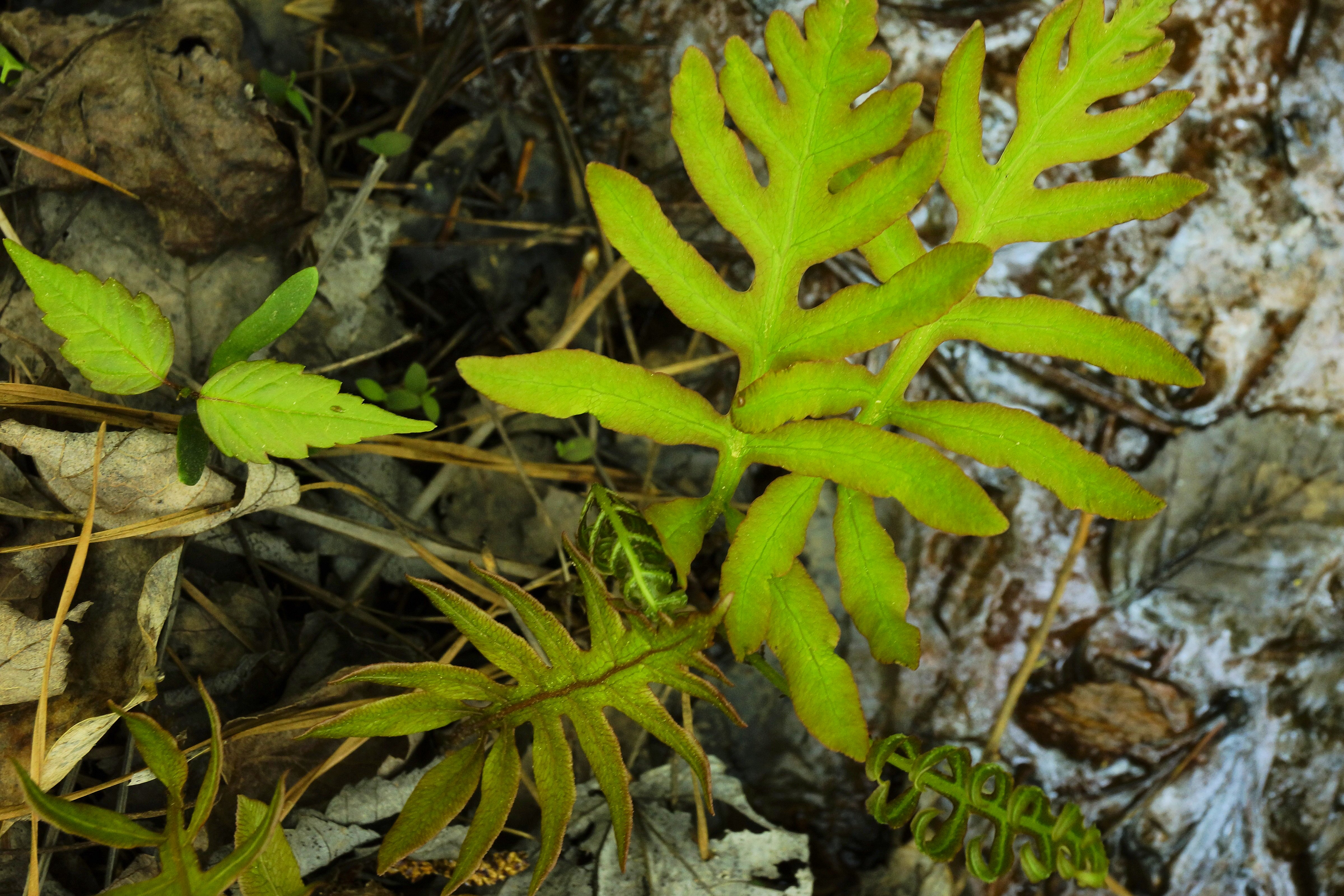
Alnus serrulata (Aiton) Willd. – hazel alder Branch with leaves.Alnus serrulata (Aiton) Willd. – hazel alder Trunk bark.Alnus serrulata (Aiton) Willd. – hazel alder – Close up of leaves.Arisaema triphyllum (L.) Schott subsp. triphyllum – Jack in the pulpitArisaema triphyllum (L.) Schott subsp. triphyllum – Jack in the pulpitArisaema triphyllum (L.) Schott subsp. triphyllum – Jack in the pulpit – Inside view of inflorescenceThelypteris noveboracensis (L.) Nieuwl.- New York fernThelypteris noveboracensis (L.) Nieuwl.- New York fernWoodwardia areolata (L.) T.Moore – Netted Chain FernWoodwardia areolata (L.) T.Moore – Netted Chain Fern. I am not sure what is the seedling to the left of the fern.Woodwardia areolata (L.) T.Moore – Netted Chain FernParthenocissus quinquefolia (L.) Planch. – Virginia creeperMaianthemum canadense Desf. – Canada mayflowerMaianthemum canadense Desf. – Canada mayflower
Liquidambar styraciflua L. – sweetgumViburnum nudum L. – possumpaw
(Above photo: a view of the “bog” from the northeast corner. You can see Japanese barberry in the foreground.” In the mid-ground, there is vernal pool. In the background, you can see the “bog”.)
These are pictures of water flowing through the “bog.” At this location, there was a very slight ripple and you could plainly see some algae filaments waving in the passing water. While, most of the water at the site was not noticeably moving, here and there you could see places like the one pictured below with water flowing.
(Photo above – a view of the bog from the east edge. You can see a good-sized patch of sphagnum moss in the middle of the photo.)
This is a view of the sphagnum moss patch that is seen in the photo above. Notice how clear of herbs and shrubs it is.
Today was interesting at the “magnolia bog” site. The trees were just starting to leaf out. I noticed a Vaccinium just getting ready to bloom.
I found a couple of Little-leaf buttercups (Ranunculus abortivus) blooming.
Ranunculus recurvatus – with leaves showing signs of possible deer herbivoryRanunculus recurvatus – leaf floating on the water.
Additionally, there was another buttercup, which I believe to be Blisterwort (Ranunculus recurvatus) with leaves both above and below the water. No flowers yet however. The leaves above the water looked like some animal had been nibbling on them. I hope that does not mean there will be a problem with deer herbivory as we make an inventory of the plants in the bog.
Taking the pictures was a real challenge. I did not want to step on the hummocks for fear of harming plants that were just starting to come up. So I had to walk around in the areas in between. The problem was the muck. I used my staff to determine the depth of the muck to make sure I could step around without sinking too deep. The other problem with getting down to the level of the plants to make sure I could take decent pictures.
Last week, Joe Metzger and I looked around a bit, but we did not see much in the way of sphagnum moss. Today, I found some good patches. Obviously we were just looking in the wrong places.
The first four photographs below are of mystery plants. If you think you know what they are, please let me know. I believe one of them may be a Turk’s Cap Lily (Lilium superbum)
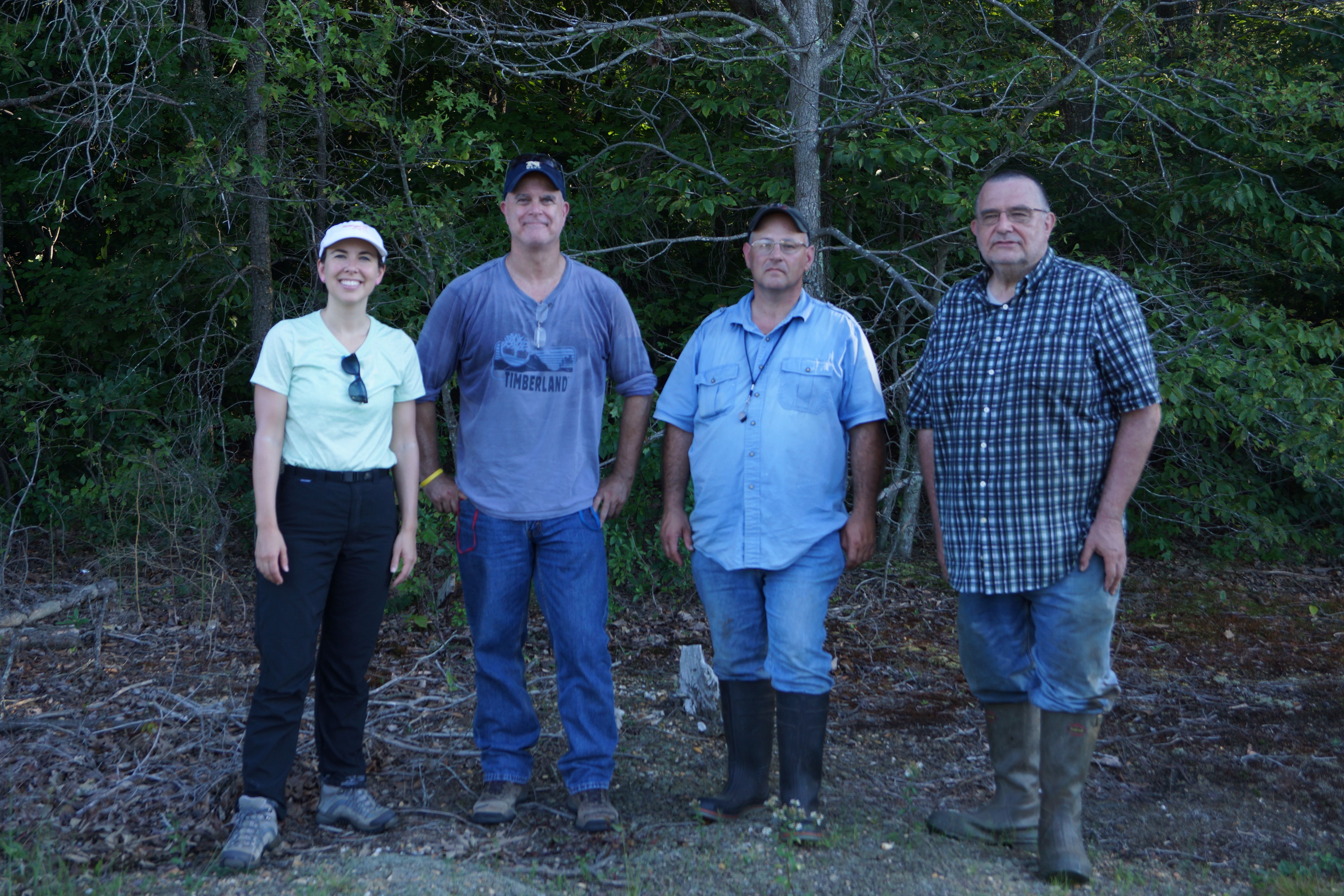
Today we forayed in the Sundew Bog area under the powerlines next to Lemon’s Bridge Road. Rusty Russel and Melinda Peters from the National Herbarium at the Smithsonian and Wayne Longbottom joined in.