Today, 27 December 2011, I went out to the end of Millrace Road to Emmy’s Pond. Took some pictures along the way.


Emmy’s Pond is located at the end of Millrace Pond and is named after Emmy Holdridge, a volunteer on the refuge who brought it to the attention of people on the refuge.
Millrace Road is follows a major part of the southern boundary of the North Tract. To access it, you must turn right off of Duvall Bridge Road just before you get to Duvall Bridge. The road is roughly two miles long. For the first part of the road, you can see the Millrace itself. It is a channel which was dug many years ago, and still has running water fed mostly from Thomas Branch. Just past Millrace, you can see Millrace Swamp on your right. (NOTE: Millrace Swamp is the body of water pictured in this blog’s banner above.)
Continuing past Millrace Swamp the road passes over Old Thomas Branch and Cinnamon Fern Branch before arriving at Emmy’s Pond.
The road is impassable to vehicles at Emmy’s Pond due to fallen trees and roadbed erosion. It is possible to hike the road to the end at Patuxent River. Along much of Millrace at the far end there is a bluff to the north that will be worth exploring this next season.
I found some Indian Pipe (Monotropa uniflora) at one station on the bluff last year.
Related Posts
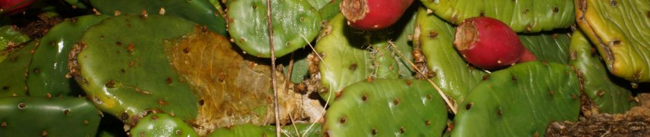
8 October 2018 – Washington County Cactus Foray
Today, Joe Metzger and I went on a foray to…
20 January 2012 – Processing Last Season’s Collected Specimens
Now that is the off-season for collecting plants, I am…
UPDATE – SPECIAL USE PERMIT
[caption id="attachment_82" align="alignleft" width="300" caption="Welcome sign by main entrance to…